Subject: World
Period: 1837 (dated)
Publication:
Color: Hand Color
Size:
37.5 x 50 inches
95.3 x 127 cm
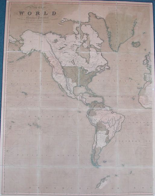
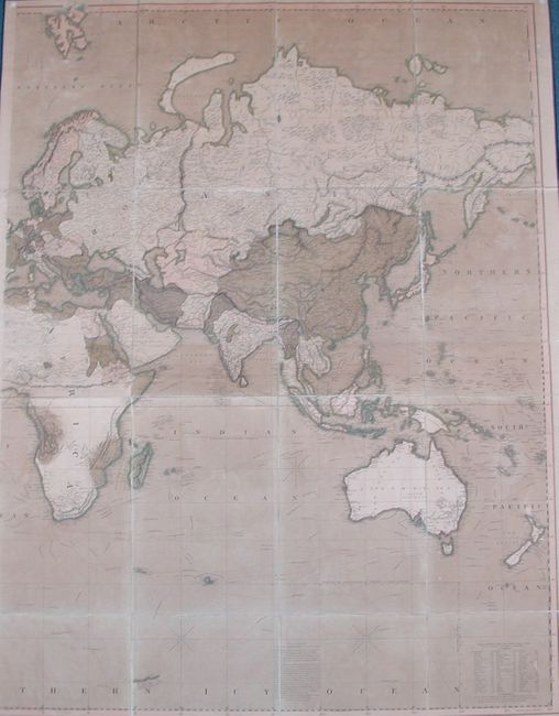
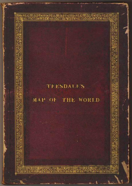
This excellent, large British map of the world on the Mercator projection was engraved by John Dower. It focuses on the voyages of discovery from early circumnavigators to the most recent scientific expeditions to the Arctic and Antarctic. The track of each expedition is plotted and annotated with dates and specific important discoveries. In North America, the United States is depicted with its western boundary along the Rocky Mountains and the disputed region of Columbia takes in present-day Oregon, Washington and British Columbia. Texas is shown as a part of Mexico. Elsewhere the map contains as up-to-date and accurate information on the world as any map of the time. Dissected and backed on two sheets of original linen, and folded into gilt embossed leather covered boards titled Teesdale's Map of the World. Two sections, each with dimensions as provided. Maps in this format are much scarcer than the usual atlas maps.
References:
Condition: B+
The original color is slightly oxidized but the paper is very sturdy. The linen is very sound and even the edge ribbons are completely intact. The maps have been removed from the boards and there is evidence of tack holes in the corners. The covers are scuffed and the spine is beginning to split.