Catalog Archive
Auction 125, Lot 271

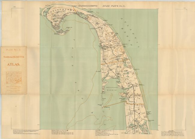
"Massachusetts Atlas Plate No. 8.", Walker, George H. & Co.

Subject: Massachusetts

Period: 1907 (dated)

Publication:

Color: Printed Color

Size:
17.5 x 18 inches
44.5 x 45.7 cm
Download High Resolution Image
(or just click on image to launch the Zoom viewer)

Detailed pocket map of upper Cape Cod, from Eastham north to Provincetown. Legend identifies Best Roads, Other Roads, Street Railways, Railroads & Stations, and much more. Blank verso. Folds into soft covers (3.8 x 7") with ads for other Walker pocket maps and bird's-eye views.

References:

Condition: A+

A fine example with no flaws save a couple of fold intersection splits as often seen on thick paper. Covers near fine with just a few very light spots.

Estimate: $140 - $160

Unsold

Closed on 9/24/2008

Archived