Subject: United States
Period: 1854 (published)
Publication:
Color: Hand Color
Size:
28.8 x 24.5 inches
73.2 x 62.2 cm
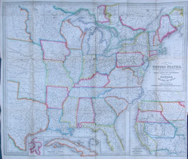
This highly detailed and beautifully engraved map is vividly colored and features inset maps of Niagara River and Falls, Havana, the Island of Cuba, and a great Map of California, Oregon, New Mexico Utah &c.. The main map shows the country as far west as the Texas panhandle and the Great Plains, which is divided into two large territories: Nebraska (with no mention of Kansas and incorporating Indian Territory) and Part of the Northwest Tery. (the region of present day North and South Dakota). There are numerous forts, railroads, trade routes and the tracks of several explorers. The inset map of the West (9¼ x 10½ inches) shows explorers' routes and immigrant trails, most notably the Oregon Route. The Great Basin in Utah Territory is bounded by a mountain range labeled Dividing Range between the Waters of the Pacific and the Waters of the Great Basin. Copyright dated 1851.
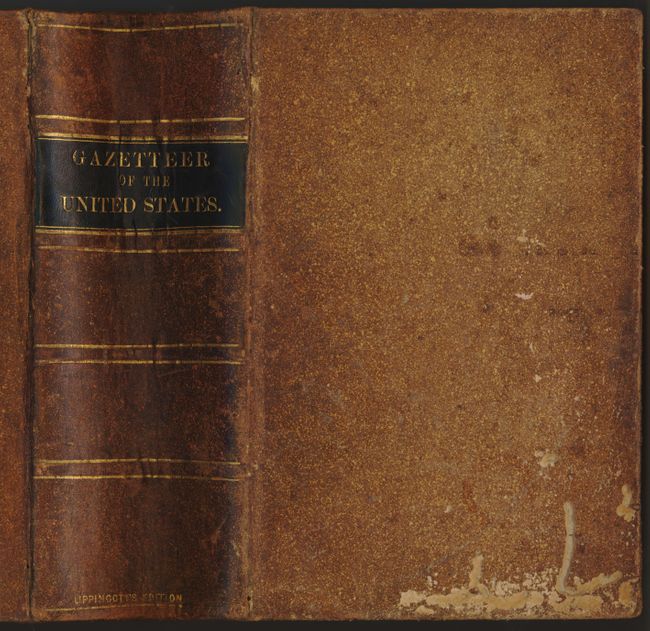
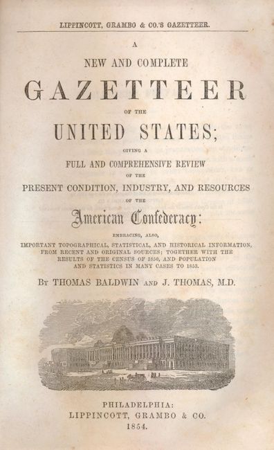
This folding map is tipped into the front of A New and Complete Gazetteer of the United States; Giving a Full and Comprehensive Review of the Present Condition, Industry, and Resources of the American Confederacy…. This gazetteer presents a massive collection of statistical information reflecting the tremendous growth of the United States in the mid-19th century. The authors, Thomas Baldwin and Joseph Thomas, state in the preface that the territory of the country recently expanded by more than 800,000 square miles, bringing the total amount of land comprising the U.S. to over 3,000,000 square miles, "nearly equaling the whole of continental Europe." The population statistics are based on the census of 1850, and were revised in 1853, due to this growth. 1364 pages, thick 8vo. Hardbound in original brown leather with gilt title over a black band on spine, and marbled foredges.
References: Wheat [TMW] #769 and 818.
Condition: B+
The map is in very good condition with original color. There are a couple of minor fold intersection splits and a little creasing. The book contents are very good and the binding is sound with a bit of worming on the front cover.