Subject: Reference Books
Period: 1970-83
Publication:
Color:
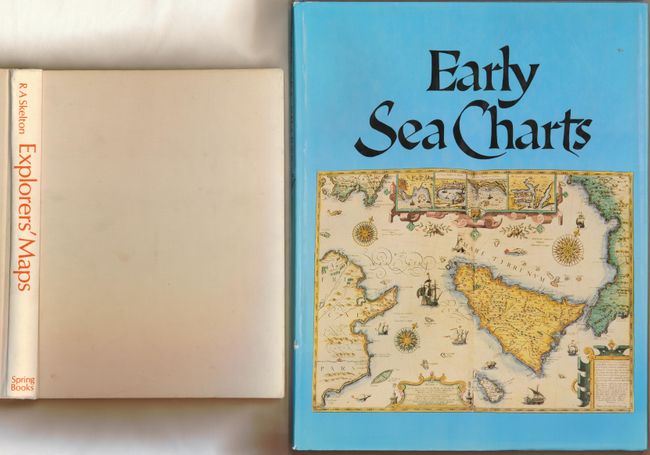
1) Early Sea Charts. Reproductions of charts from the 14th to 18th centuries, with a good commentary on each. Includes 76 plates, full-page and double page reproductions of sea charts in full color and black-and-white text illustrations. Robert Putman, New York: Abbeville Press, 1983. 143 pages, Small folio, (12 x 15.5"). Hardbound in blue cloth with blind-stamped title on front cover and gilt-stamped spine title, illustrated dust jacket is slightly dinged. Else, as new. Grade A.
2) Explorers' Maps Chapters in the Cartographic Record of Geographical Discovery. This book has a two-fold fascination: it traces the development of cartography from the maps and charts of medieval travelers, who filled the unknown areas of their maps with drawings of sea monsters and sailing ships, to the scientifically accurate and highly sophisticated charts of l8th and l9th century surveyors; and it is the story of how Europe discovered and explored the rest of the world. R.A. Skelton, Spring Books, 1970, 8vo. (8.5 x 11.3"). 337 pp., with 219 illustrations. Hard bound in white cloth with printed title on spine. Contents have an occasional finger mark. The covers are soiled and a little warped. Grade B+.
References:
Condition:
See descriptions.