Subject: Atlases, United States
Period: 1854 (published)
Publication:
Color: Hand Color
Size:
13 x 10.5 inches
33 x 26.7 cm
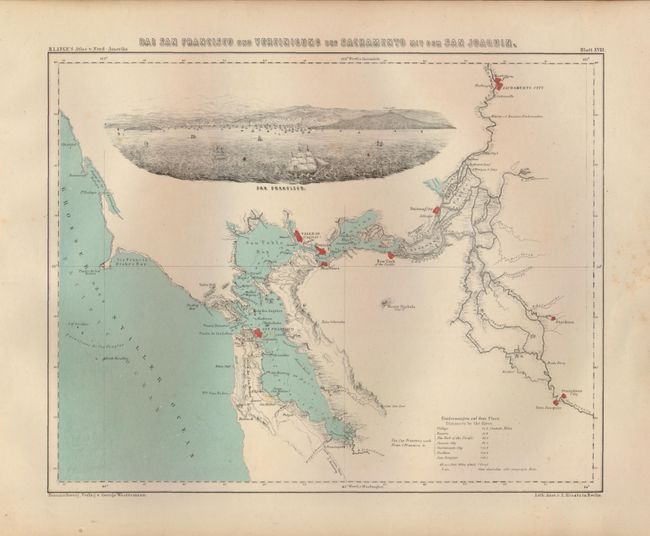
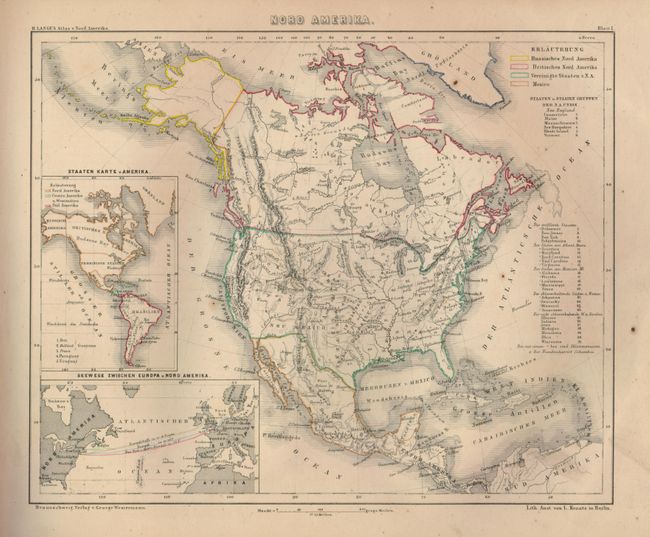
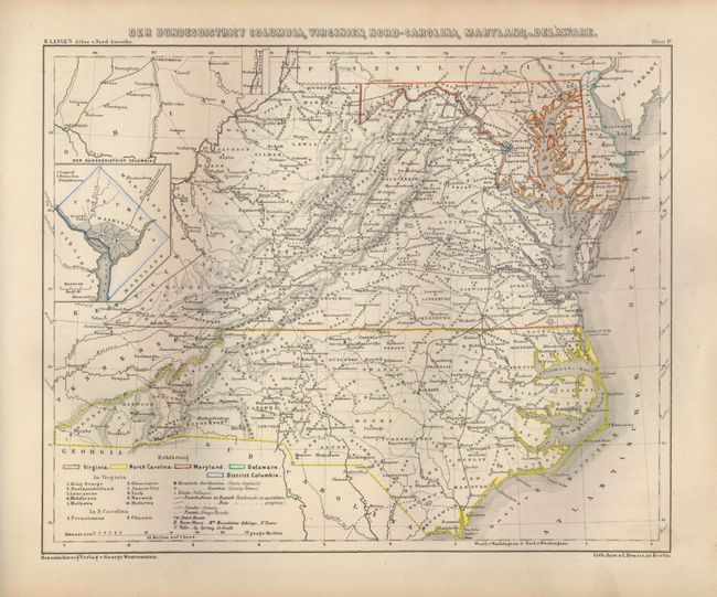
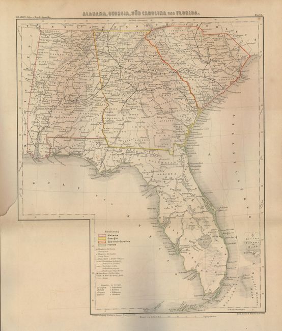
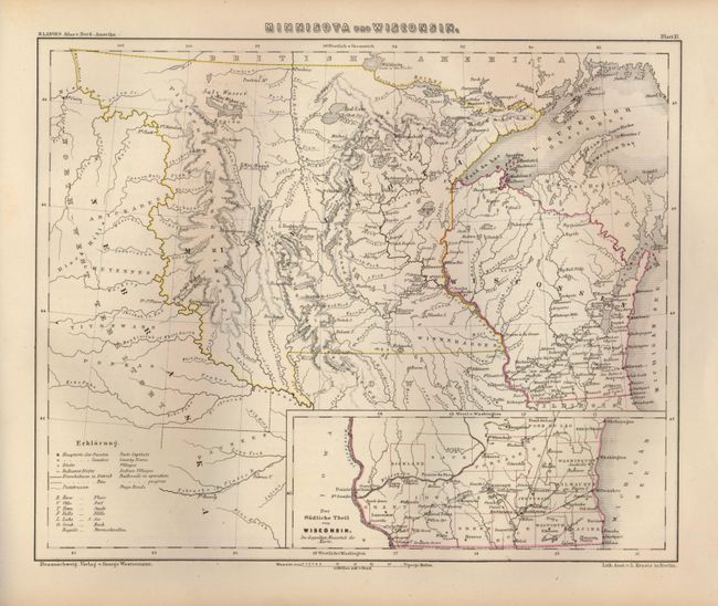
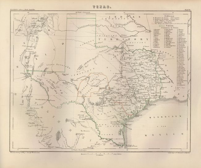
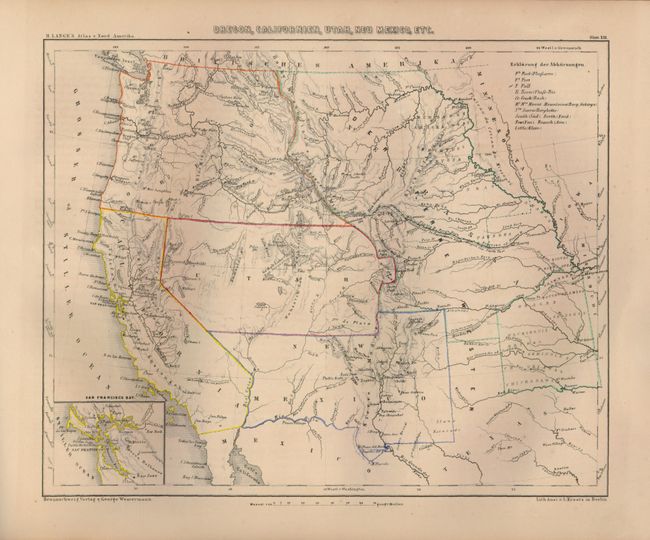
This atlas focuses on the United States and contains 18 large single-page maps with political boundaries outlined by hand. The atlas includes the folding map of Alabama, Georgia, Sud Carolina und Florida that locates state capitals, existing and proposed railroads, stage roads and swamps. An attractive map of Texas shows the Mainzer Verein land grant and the route used by German immigrants from the port of entry at Indianola to New Braunfels. A lovely map of San Francisco Bay and its vicinity shows the cities of San Francisco, Benicia, Sacramento City, Boston, Stockton, Suisun City, Martinez, New York of the Pacific, Stanislaus City, San Joaquin and Vallejo, shown here as the capital, colored in orange. This handsome map also features a table of distances from San Francisco to the other cities in the area via the Sacramento River, and a large vignette of San Francisco Bay filled with dozens of ships. Text in German. 28 pp. Oblong quarto. Hardbound in original marbled brown paper covered boards with quarter calf spine and tips.
References: Rumsey #4290.
Condition: B+
The maps are very good to fine. The Florida map has a 2" binding tear just reaching the neatline, and some faint offsetting. The text pages are generally good with some toning and occasional staining. The covers are a bit rubbed and shelf worn, principally at the spine. The binding is tight.