Catalog Archive
Auction 124, Lot 653

"L'Empire de la Chine pour Servir a l'Histoire des Establissemens Europeens", Bellin/Van Schley

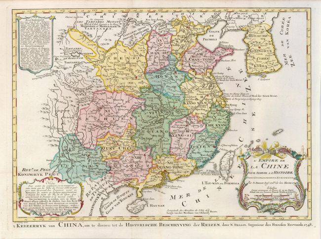
Subject: China and Korea

Period: 1748 (dated)

Publication: Raynals Atlas Portatiff

Color: Hand Color

Size:
15.7 x 11.2 inches
39.9 x 28.4 cm
Download High Resolution Image
(or just click on image to launch the Zoom viewer)

Attractive and detailed map of China and Korea, with Canton, Nanking and Taiwan. Taiwan is called Isle Tay-wan, ou de Formosa. The Sea of Japan is labeled Mer de Coree. The map is adorned with a large decorative title cartouche featuring dragonfly-winged wind heads and flowers. The map has decorative blocks of explanatory text in both French and Dutch. Dutch title along bottom: 't Keizzerryk van China, on te dienen tot de Historische Beschryving der Reizen…

References:

Condition: B+

An nice impression on a sheet with folds as issued. There is a light line of toning at the bottom of the map.

Estimate: $400 - $500

Unsold

Closed on 5/7/2008

Archived