Catalog Archive
Auction 124, Lot 603

"Historische Kaert der Landen en Saecken int Oude en Nieuwe Testament", Hooghe, Romain de
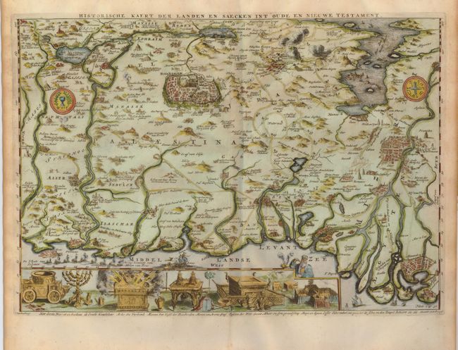
Subject: Holy Land

Period: 1702 (circa)

Publication:

Color: Hand Color

Size:
18 x 12.5 inches
45.7 x 31.8 cm
Download High Resolution Image
(or just click on image to launch the Zoom viewer)

This scarce chart illustrates places described in the New Testament. The coastline runs from Sidon to the Nile delta at the bottom of the map. In the upper left corner is Damascus and the Red Sea is at upper right. A panel at bottom illustrates the temple vessels. The map was published by Jacob Lindenberg.

References: Poortman & Augusteijn #155.

Condition: A

Light foxing in blank margins and a tiny fold separation at bottom, well away from map.

Estimate: $475 - $600

Sold for: $400

Closed on 5/7/2008

Archived