Subject: Holy Land
Period: 1560-1780 (circa)
Publication:
Color:
An interesting pair of maps of the Holy Land from the 16th and 18th centuries.
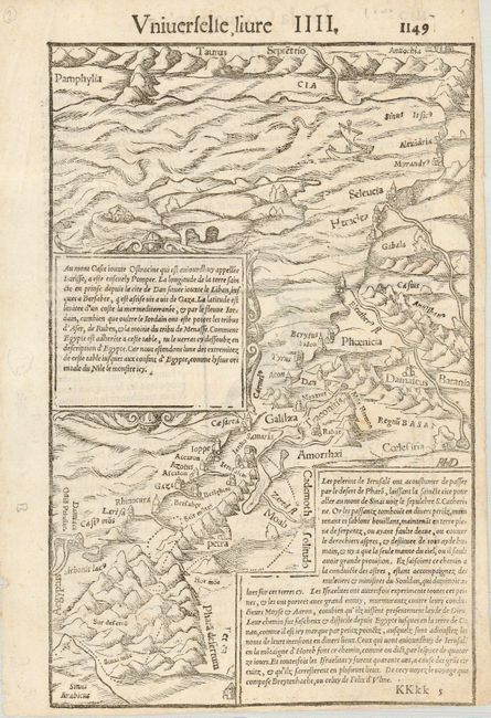
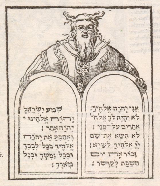
1) The untitled map is an interesting, uncolored woodblock map of the Holy Land and Cyprus (shown but not named), covering from southern Turkey to the Nile Delta, with Biblical place names including Jericho, Jerusalem, and Galilee. There are two inset panels of French text. French text and a nice depiction of Moses and the Commandments on verso. Published by Sebastian Munster, circa 1560 in Basel. The lower margin is trimmed just to the neatline. There are a few spots of foxing - Condition B (6.6 x 10.6").
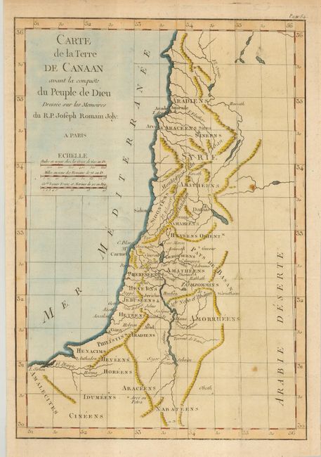
2) Carte de la Terre de Canaan avant le conquete du Peuple de Dieu is an anonymous map from the memoirs of R. P. Joseph Romain Joly, circa 1780. The map has attractive hand coloring. It has irregular margins and a binding tear just past the left border, repaired with tissue on the verso. There are a few creases and folds - Condition B (8.4 x 12").
References: Map 1) Laor #528A.
Condition:
See descriptions.