Catalog Archive
Auction 124, Lot 566

"Carte Routiere de l'Italie Indiquant les Divisions Politiques de Ses Divers Etats", Brue, Adrien Hubert
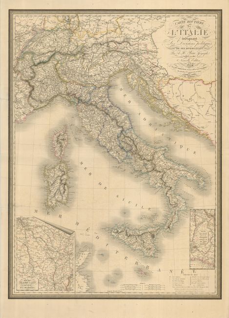
Subject: Italy

Period: 1834 (dated)

Publication:

Color: Hand Color

Size:
24 x 32.5 inches
61 x 82.6 cm
Download High Resolution Image
(or just click on image to launch the Zoom viewer)

A large, handsome map of Italy inset with two maps detailing the routes in France from Lyon to Marselle, and from Paris, to Lyon, Geneva and Chambery. The map extends to Sicily, Sardinia, Corsica and Switzerland and Croatia. This map is updated from 1830 and was published by Charles Simmoneau. It is enclosed within a decorative keyboard border.

References:

Condition: B

Nice original outline color. The left side has a couple of closed tears that enter the map, with longest being about 2.25". There are some marginal tears that do not enter the map.

Estimate: $200 - $300

Sold for: $150

Closed on 5/7/2008

Archived