Subject: Italy, Rome
Period: 1834 (dated)
Publication:
Color: Hand Color
Size:
38 x 28 inches
96.5 x 71.1 cm
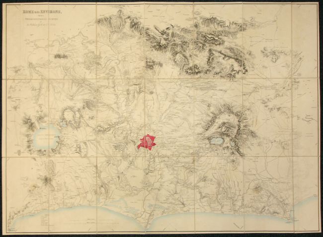
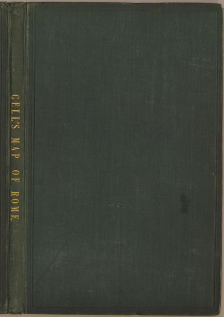
This large and highly detailed map is dissected into 21 panels and backed with linen. It was engraved by J. Gardener and shows topography, villages, cities, rivers, lakes, forests, forts and much more. The map is oriented with north at left, and covers the region from the Mediterranean coast in the west to Sabina in the east and north to south from Sutrium to Signia. Sir William Gell was an important English archaeologist involved in excavating Pompeii in the 1820s. His works and maps were regarded as standard treatises during the 19th century, and much of the information they contain is still of value to the topographer and archeologist. The map folds into original boards with green cloth and title in gilt on spine. A most uncommon issue.
References:
Condition: A
Map is very good with some very light toning. Linen has some light foxing on verso. Pencil and ink notations from a previous owner inside front cover. Covers slightly shelf worn.