Subject: Low Countries
Period: 1817-1842 (circa)
Publication:
Color: Hand Color
A handsome group of mid-19th century maps of the Low Countries.
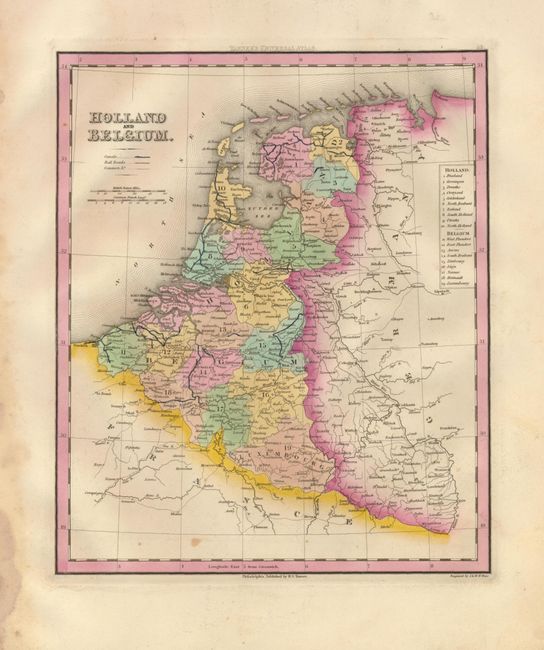
1) ) Holland and Belgium by Henry Schenck Tanner, published in Philadelphia in the New Universal Atlas of 1842. The map notes the states of both countries and the canals, railroads and cities. The map has vibrant original color and couple of minor stains in the map. The margins are damp stained with some mildew and a short, repaired tear. (10 x 11.8")
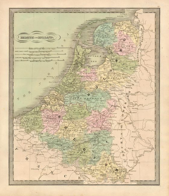
2) Belgium and Holland by Jeremiah Greenleaf, published in his 1842 atlas. The finely engraved map shows the states and cities with excellent detail. The map has original hand coloring and is in very good condition with a couple of minor spots. (10.5 x 12.5")
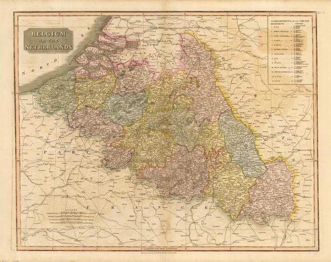
3) Belgium or the Netherlands is a large map from John Thomson's A New General Atlas published circa 1817. The topography is depicted pictorially, and the departments are noted on the left. The map has some offsetting, and a few repaired tears that enter the map. The centerfold is separated about 2/3 into the map. (23 x 19")
References:
Condition: B
See descriptions.