Catalog Archive
Auction 124, Lot 383
"Carte Reduite de la Riviere de la Plata depuis des Caps Sainte Marie et Saint Antoine jusqu 'aux Iles de Hornos et Buenos-Ayres", Depot de la Marine
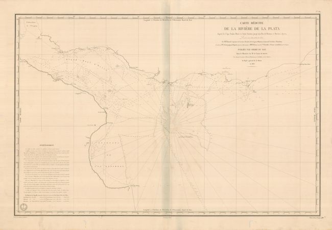
Subject: Argentina and Uruguay
Period: 1833 (dated)
Publication:
Color: Black & White
Size:
34.5 x 23 inches
87.6 x 58.4 cm
Download High Resolution Image
(or just click on image to launch the Zoom viewer)
(or just click on image to launch the Zoom viewer)