Catalog Archive
Auction 124, Lot 320

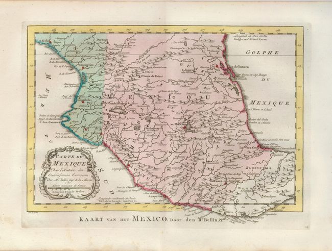
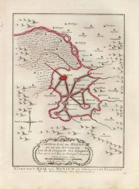
"[Lot of 2] Carte du Mexique… [and] Carte du Lac de Mexico, et de ses Environs Lors de la Conqueste des Espagnols", Bellin/Van Schley

Subject: Mexico

Period: 1773 (published)

Publication: Atlas Portatif…

Color: Hand Color

Size:
See Description
Download High Resolution Image
(or just click on image to launch the Zoom viewer)

1) Carte du Mexique… is an attractive map of central Mexico reaching from Durango in the north as far south as the Isthmus of Tehuantepec. Mexico City is located on the shores of a large lake (11.5 x 7.7").

2) Carte du Lac de Mexico… shows Mexico City as it was when discovered by the Spaniards. The city is located in a large lake with a series of causeways linking the main city and other islands in the Lac d'Eau Salee with the mainland. Numerous towns, including Tacuba, Capistlan, Xicolopa, and Curtaleco are located in the surrounding countryside (6 x 8.2").

References:

Condition: A

Fine impressions and original color. There are some minor spots in blank margins, well away from maps.

Estimate: $200 - $240

Unsold

Closed on 5/7/2008

Archived