Subject: Boston, Massachusetts
Period: 1858 (dated)
Publication:
Color: Black & White
Size:
3.3 x 5.5 inches
8.4 x 14 cm
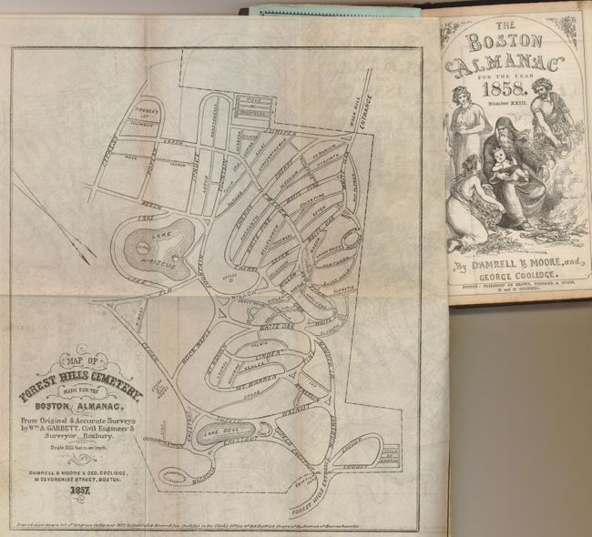
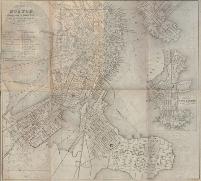
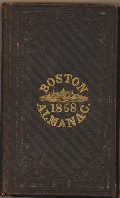
This is a terrific example of the pocket edition of the 1858 Almanac. Bound in at front is the "New Map of Boston Comprising the Whole City, with the New Boundaries of the Wards" (10.6 x 9.6") with a large inset, "Plan of East Boston." The map is very finely engraved, likely on steel, and has a reference locating 24 important places. On the verso is a "Map of the Forest Hills Cemetery" (7 x 8.5"), drawn on a scale of 300 feet per inch from original surveys by William A. Garbett of Roxbury. Bound in brown cloth boards, the cover features a gilt stamped title and vignette of the city. The 290 pages are filled with countless advertisements (many illustrated), vignettes and full-page engravings like "View of Milk Street, from Pearl Street to Central Wharf" -- many images we've never seen elsewhere. The Memoranda pages beside each month have many notations in neat period ink, each by date; numerous deaths, coming and goings, also, for August 6, an entry "Atlantic cable laid."
References:
Condition: A
Map has a trace of light scattered foxing. Binding is separating and covers are slightly rubbed.