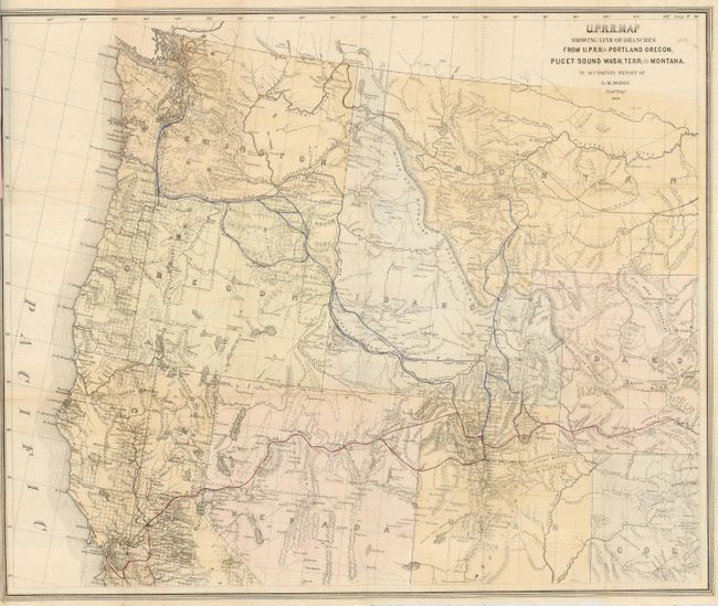
Subject: Northwestern United States
Period: 1868 (published)
Publication:
Color: Hand Color
Size:
28.7 x 24.3 inches
72.9 x 61.7 cm
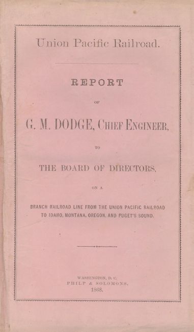
This large map shows the main line of the Union Pacific Railroad in red and proposed branch lines from Utah to Seattle and Utah to Helena, Montana, with alternate route segments all shown in blue. The base map covers the entire northwestern United States extending from Casper and Ft. Reno on the east to the Pacific Ocean on the west, and San Francisco Bay and junction of the Green and Grand Rivers on the south. Wyoming is still called Dakota and retains its odd western border. The map is bound into the original Union Pacific Railroad Report of Grenville Dodge, Chief Engineer, to the Board of Directors, on a Branch Railroad Line from the Union Pacific Railroad to Idaho, Montana, Oregon, and Puget’s Sound. Dated 1868, the 13 pp. octavo report (5.7 x 9") was published by Philip & Solomons. Complete in original salmon printed wrappers.
Grenville Dodge was among the most accomplished explorers of the Union Pacific route. His expedition is often overlooked because it was conducted by teams of surveyors and engineers rather than individual military heroes like Fremont. Taking time out from his regular duties on the main line in 1867, Dodge reconnoitered a branch line for purposes of establishing a trade route from the main line to the Pacific Northwest. His report describes the proposed routes, their advantages, and quick return of capital investment, noting that as a passenger route "it virtually annihilates time." A rare issue for which we find no past catalog entries.
References:
Condition: B+
Folding as issued. Good impression and original outline coloring. It has a binding tear at left, closed on verso with archival tape, that enters 2.5" into the map in the blank ocean. Lower margin trimmed just into neatline on right as issued. Pamphlet is in very good condition with just some minor soil on the original paper covers.