Subject: Atlases
Period: 1844 (published)
Publication:
Color: Hand Color
Size:
13 x 18 inches
33 x 45.7 cm
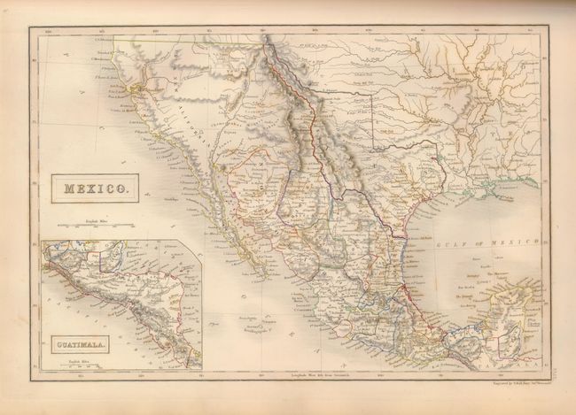
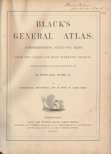
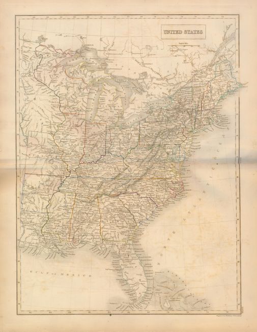
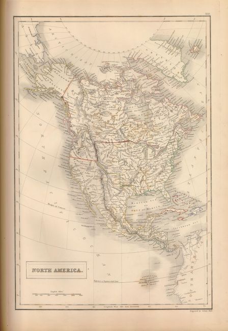
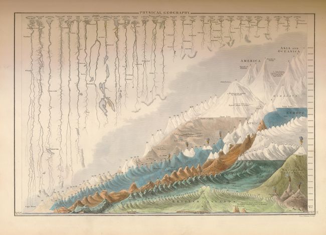
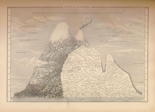
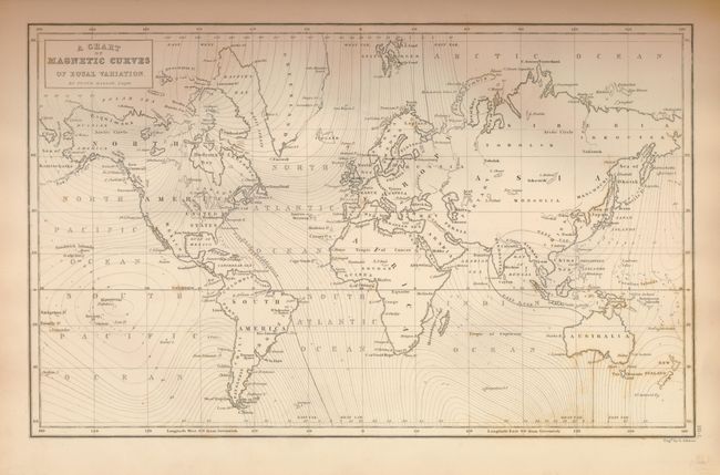
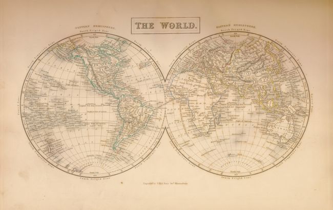
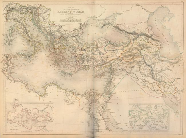
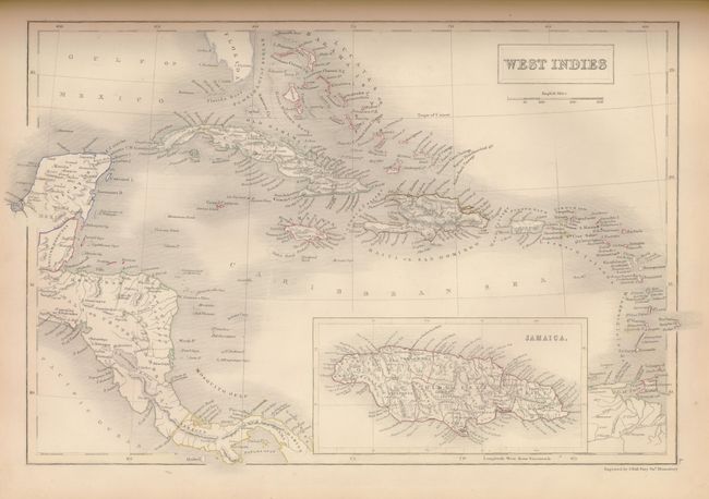
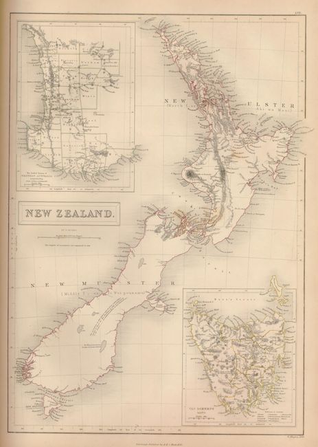
Title continues Engraved on Steel in the First Style of the Art. By Sidney Hall, Hughes, &c. with Geographical Descriptions, and an Index of 56,000 Names. This complete atlas contains four charts and 57 maps in all, three of which are of U.S. interest: North America, which features an independent Texas and also shows the disputed northwestern boundary with British America at 44°, just south of the Columbia River; United States, covering the region east of the Mississippi; and Mexico, shown with its northern border to about 44° and featuring an independent Texas. Other interesting features include an attractive East Indies map, and a lovely Mountains and Rivers plate that has very attractive hand coloring. The atlas is hardbound in its original grey cloth with a decorative floral pattern and a gilt title on the spine. This folio atlas also contains title page, table of contents, text, maps, and a 57 page index. Most of the original tissue guards are in place in this nice example.
References:
Condition: B+
Maps generally good to very good with occasional foxing and light offsetting. Ink manuscript notation on the title page, and a tape repair to the hinge inside the front cover. Front cover is split from spine, but still attached. Corners and edges are bumped and worn with some loss. Spine has a bit of loss.