Catalog Archive
Auction 123, Lot 776

"A Correct Map of the African Islands of Bourbon, and Mauritius or the Isle of France", Lodge, John

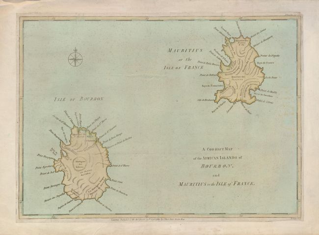
Subject: Indian Ocean, Reunion and Mauritius

Period: 1781 (published)

Publication: Political Magazine

Color: Hand Color

Size:
15.5 x 11.3 inches
39.4 x 28.7 cm
Download High Resolution Image
(or just click on image to launch the Zoom viewer)

Elegant rendering of the islands of Mauritius and Reunion in the south Indian Ocean. Reunion Island is named as Bourbon Island, after the French royal family. This was changed to Reunion in 1793 after the fall of the royal house. The map is filled with information on the bays, topography and the few towns that were located there at the time. This was included in the September 30th, 1781 publication of Political Magazine, published by John Bew.

References: Jolly POL-34

Condition: B+

An attractive example that has been laid on a sheet of 18th century paper to extend the normally narrow margins and a printer's crease at bottom. A little faint discoloration on the right side.

Estimate: $200 - $250

Sold for: $475

Closed on 2/20/2008

Archived