Catalog Archive
Auction 123, Lot 475

"Le Carte d'Angleterre", Palairet, Jean

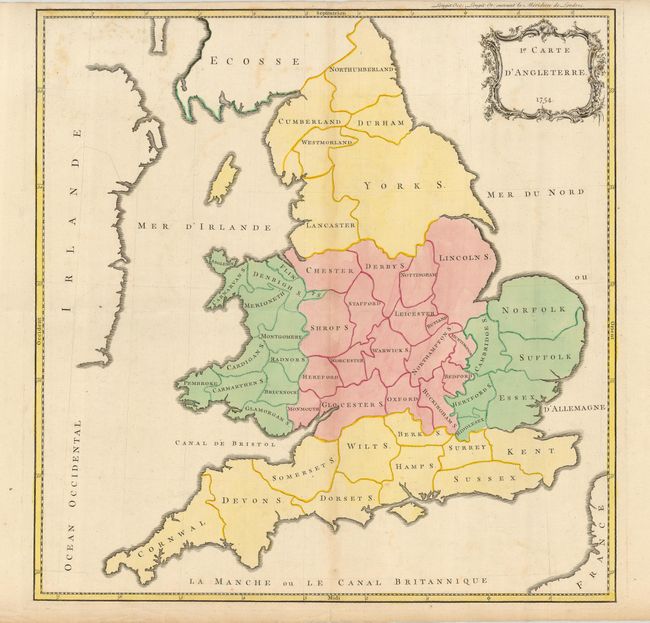
Subject: England & Wales

Period: 1754 (dated)

Publication: Atlas Methodique

Color: Hand Color

Size:
20.3 x 20.5 inches
51.6 x 52.1 cm
Download High Resolution Image
(or just click on image to launch the Zoom viewer)

Attractive, boldly engraved and colored map of England and Wales. As a student study map, it has no interior details of any kind other than county divisions. A nicely engraved rococo-style cartouche is at upper right. Jean Palairet was the Agent to the States-General in London.

References:

Condition: B+

Clean and bright with a crisp impression. A couple areas of light foxing.

Estimate: $200 - $300

Unsold

Closed on 2/20/2008

Archived