Catalog Archive
Auction 123, Lot 439

"[Lot of 2] Kaart van het Zuidelyk Gedeelte van Bresil… [and] Kaart van het Noordlyk Gedeelte van Bresil", Bonne/Bachiene
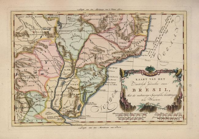
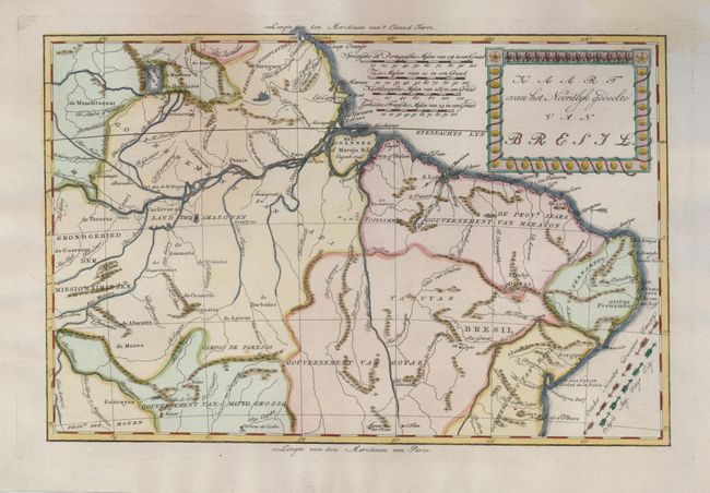
Subject: Brazil

Period: 1785 (circa)

Publication: Atlas, tot opheldering der hedendaagsche historie

Color: Hand Color

Size:
12.5 x 8.3 inches
31.8 x 21.1 cm
Download High Resolution Image
(or just click on image to launch the Zoom viewer)

This uncommon and attractive pair of maps covering most of Brazil was published in a scarce Dutch edition. The maps were based on the cartography of Emanuel Bowen. The directions of the trade winds are shown with arrow naming the months. There is very ice detail of the river systems, mines, forts, missions, and villages. A small remnant of the legendary Mer Parime is located in the northern map. Bold title cartouches decorate both maps.

References:

Condition: A

Slight stains in blank margins, one just barely encroaching into border on the northern map.

Estimate: $200 - $275

Sold for: $150

Closed on 2/20/2008

Archived