Catalog Archive
Auction 123, Lot 405

"West India Islands - Martinico [on sheet with] Dominica", Thomson, John

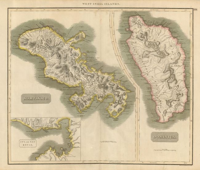
Subject: Lesser Antilles

Period: 1714 (circa)

Publication:

Color: Hand Color

Size:
23.3 x 19.6 inches
59.2 x 49.8 cm
Download High Resolution Image
(or just click on image to launch the Zoom viewer)

Two copper engraved maps on a single sheet with common borders detailing the islands of Martinique and Dominica. The map of Martinique includes a large inset titled Cul de Sac Royal that shows towns, buildings and the hospital. Both maps show good detail of topography and watershed, as well as towns, and shipping channels.

References:

Condition: B+

Map has some soiling, mostly in the margins, and a few edge separations repaired with cello tape on verso. There are two extraneous creases along the centerfold. Still an attractive map of these islands.

Estimate: $140 - $180

Unsold

Closed on 2/20/2008

Archived