Catalog Archive
Auction 123, Lot 292

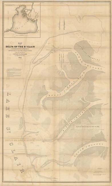
"Map of the Delta of the St. Clair…", U.S. Army
Subject: Michigan

Period: 1842 (dated)

Publication:

Color: Black & White

Size:
28 x 46.5 inches
71.1 x 118.1 cm
Download High Resolution Image
(or just click on image to launch the Zoom viewer)

Map shows the several channels from the St. Clair River to Lake St. Clair. It was surveyed and drawn by Lts. J. N. Macomb and W. H. Warner under the direction of Captain W.G. Williams. Large inset map of the area copied from an original used in the Treaty of Ghent. It extends just to Detroit. The main map locates the Swan River and four sub-channels of the St. Claire. A most uncommon issue.

References:

Condition: B

On sound paper with a couple fold splits, closed on verso. With significant offsetting or toning.

Estimate: $140 - $180

Sold for: $70

Closed on 2/20/2008

Archived