Catalog Archive
Auction 123, Lot 162

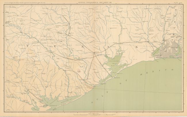
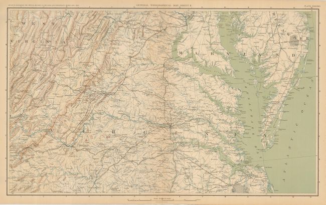
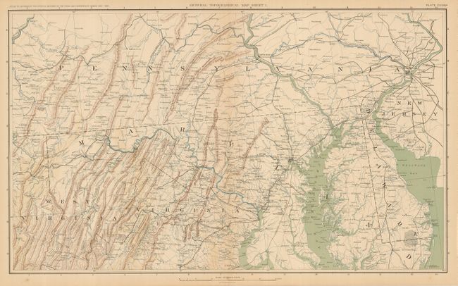
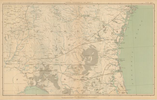
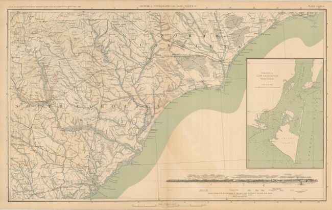
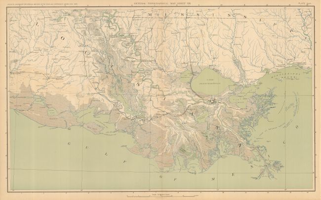
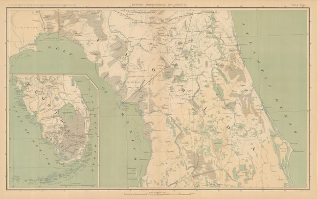
"[Lot of 26] Topographical Map Sheets No. I-XXVI", U.S. War Records Office

Subject: United States - Civil War

Period: 1891 (published)

Publication: Atlas to Accompany the Official Records of the Union and Confederate Armies

Color: Printed Color

Size:
27.4 x 16.5 inches
69.6 x 41.9 cm
Download High Resolution Image
(or just click on image to launch the Zoom viewer)

This remarkable set includes the first thirty-six maps in the atlas pertaining to the Civil War, covering all of the United States westward to include Texas. On a scale of ten miles to the inch, these maps show in great detail where the war was fought. Each is double page and many feature important insets, such as Cape Fear. Each is titled "General Topographical Map" followed by the sheet number. Together they offer a rare and finely detailed look at the country during the Civil War.

References:

Condition: A

The maps are all very good or better. On full sheets with original margins. Importantly, each sheet is clean and supple, without the browning and brittleness normally associated with these maps.

Estimate: $400 - $500

Sold for: $325

Closed on 2/20/2008

Archived