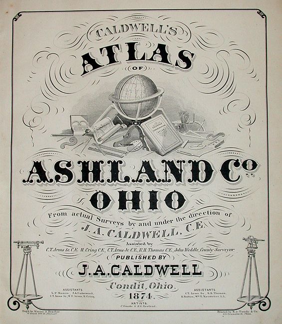
Subject: Atlases, Ohio
Period: 1874 (dated)
Publication:
Color: Hand Color
Size:
14.5 x 17.5 inches
36.8 x 44.5 cm
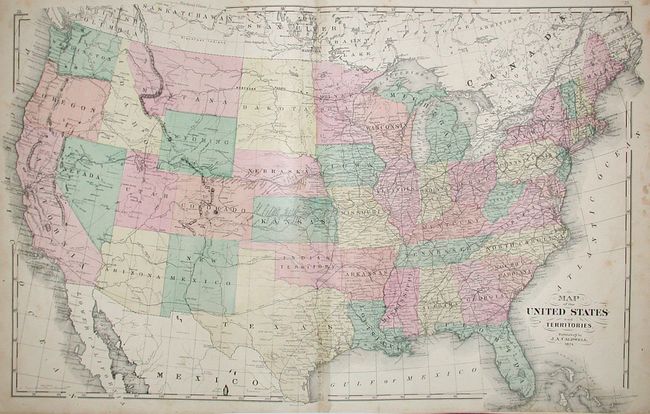
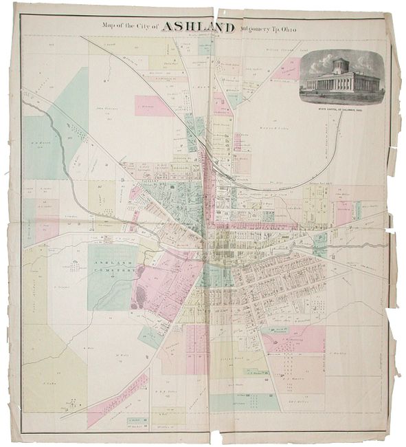
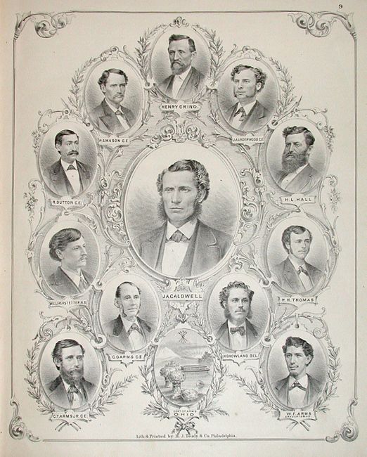
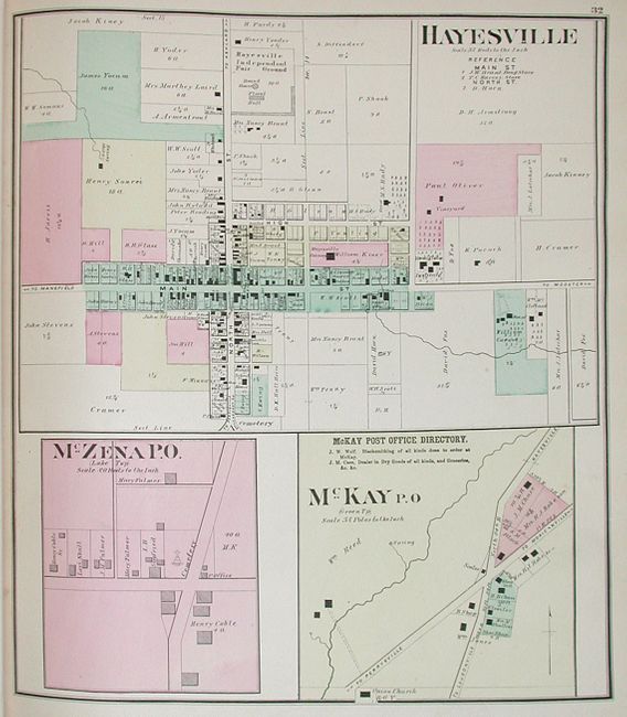
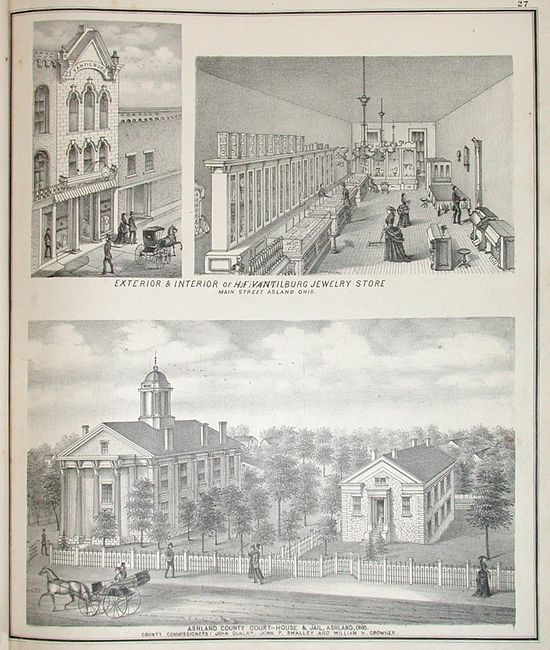
This difficult to find atlas that lists and contains 35 maps (2 double page and 1 folding) also includes an unlisted, folding Map of the City of Ashland Montgomery Tp. Ohio (28.5 x 26") for a total of 36. These maps are filled with important information, and point out the railroads, rivers, churches, cemeteries, landowners, mills, businesses, schools and farms. The beautifully engraved views show examples of homes, farms and industry. There is a sheet of 12 "portraits of Engineers", including one of Joseph Caldwell. This example lists 134 pages in the Table of Contents, but only contains 124. All maps are present, and there is no evidence within the binding that the last ten pages were ever included here. Folio. Original hardbound in embossed green cloth with red quarter calf spine and tips. Gilt title on cover. Despite rough cover and the one map, this is a nice example.
References:
Condition: B+
Text and maps generally very good with some occasional soiling and toning. Large folding map of Ashland is not bound in, is misfolded, and has several edge and fold separations. Covers are scuffed, shelf worn and damp stained. Spine is softening and worn, but still attached. Binding tight.