Subject: Atlases
Period: 1768 (dated)
Publication:
Color: Black & White
Size:
8.5 x 10.5 inches
21.6 x 26.7 cm
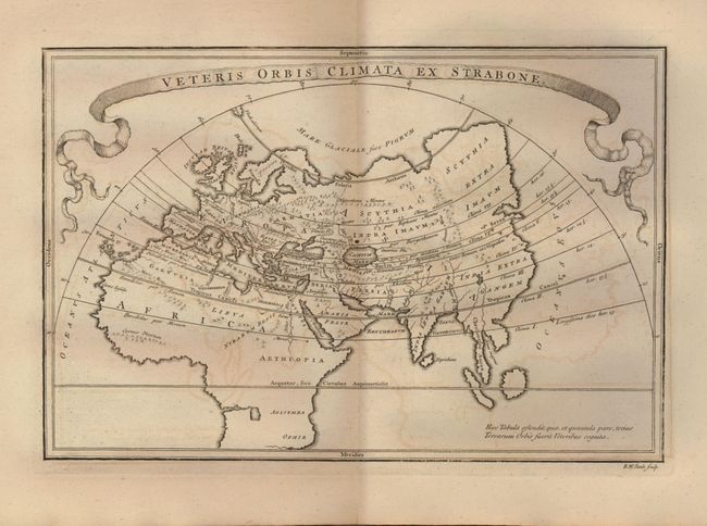
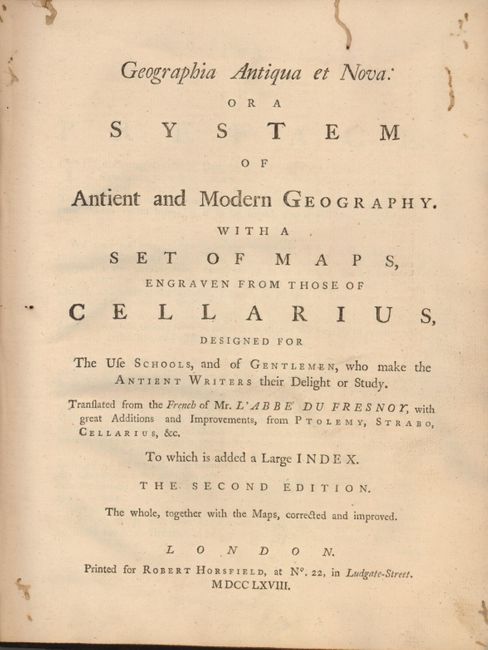
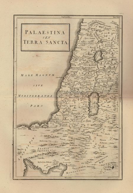
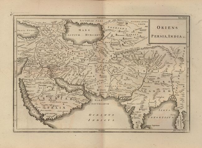
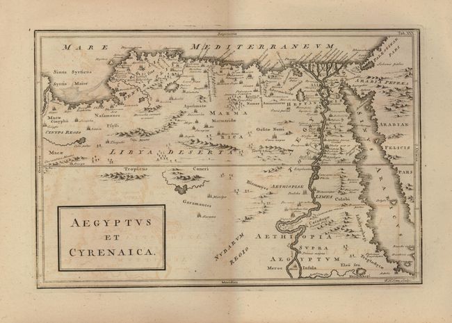
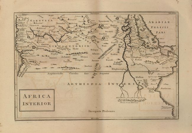
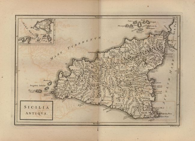
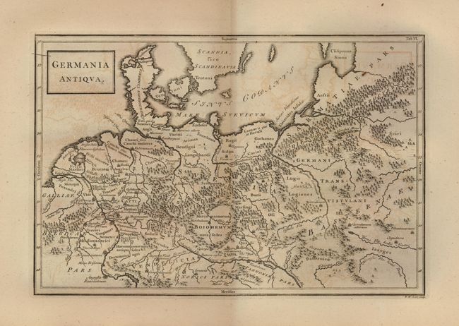
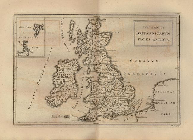
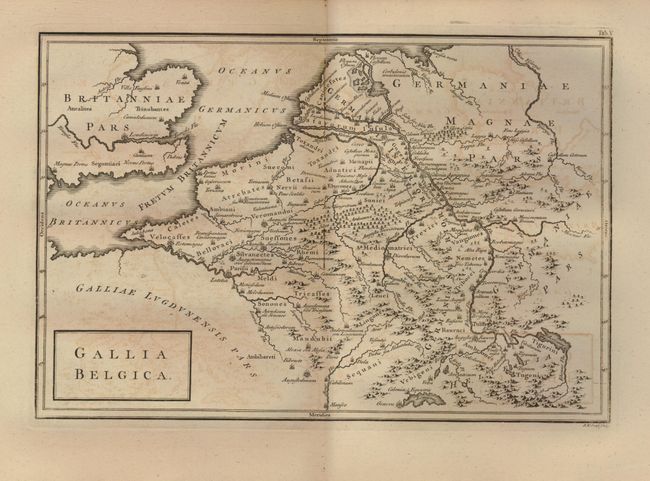
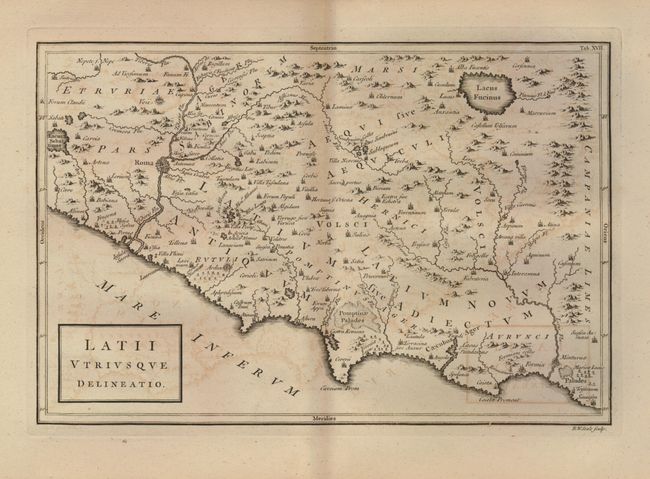
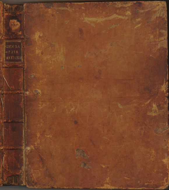
The second edition of this highly regarded geography containing thirty-three double-page maps. The book focuses on the three divisions of the Ancient World -Europe, Asia and Africa. The attractive, boldly engraved maps are in Latin, and use two different typestyles, Italic and Roman, to distinguish between ancient and modern place names. They show excellent detail with topography, towns, churches, mosques, and more. The map, Sicilia Antiqua shows an erupting Mt. Aetna. Insularum Britannicarum Facies Antiqua includes an inset of Thule, and a handsome map of the Nile Delta, Aegypti Delta et Nili Ostia locates Alexandria, Memphis and the pyramids. The text has been translated from French, and describes the names and boundaries of the countries and their provinces or other divisions. 8vo. 105 pages plus a 19 page index. Published by Robert Horsfield. Complete. Hardbound in original leather with gilt title and raised bands on spine.
References:
Condition: A
Maps have occasional foxing and offsetting. Some worm tracks throughout, but confined to the margins of the maps. Covers are scuffed with some loss. Front cover separated, first endpaper is starting. A pastedown library stamp from the State Normal School at Salem is inside front cover. Spine is worn with some loss at the extremities.