Catalog Archive
Auction 122, Lot 439
"Neue Charte der Canarien Inseln nach der Zeichnung von Bory de St. Vincent", Anon.
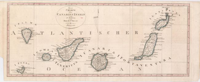
Subject: Atlantic Ocean, Canary Islands
Period: 1811 (dated)
Publication:
Color: Hand Color
Size:
17.8 x 7.2 inches
45.2 x 18.3 cm
Download High Resolution Image
(or just click on image to launch the Zoom viewer)
(or just click on image to launch the Zoom viewer)