Subject: Central America, Hawaii and Pacific coast of America
Period: 1853 (dated)
Publication:
Color: Black & White
Size:
25 x 38 inches
63.5 x 96.5 cm
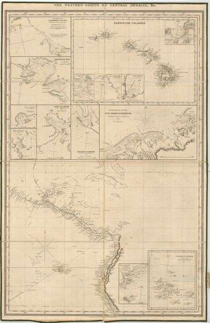
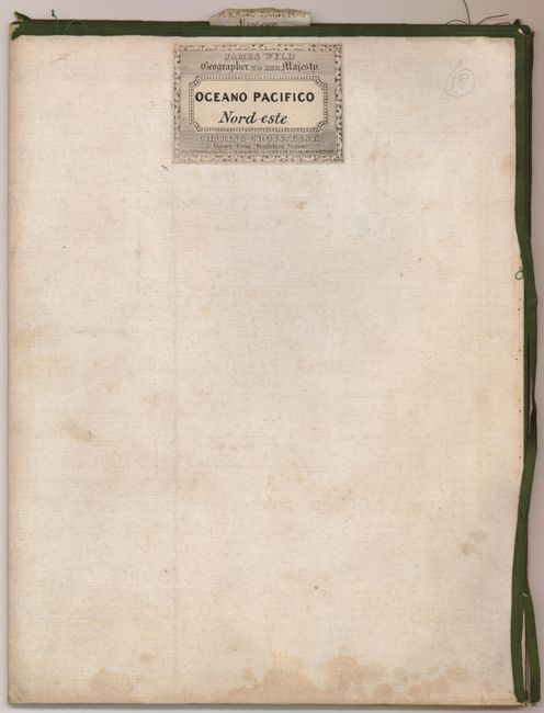
Very scarce folding sea chart detailing the coastlines of Central America. It is inset with maps of the Columbia River to Fort Vancouver; the Sandwich Islands (Hawaii) with harbor insets of Honolulu (Honorurou Harbour), Kailua (Kairua Bay, noting the tomb of Tamahamas), Hanalei Bay, and Waikiki (Waiakia or Byron Bay); Mexican ports of Acapulco, Veracruz (Port Sacrifios), and Huatulco (Guatulco); El Salvador (Port La Union); Nicaragua (Realejo Harbor); Tahiti (Otaheite); Panama Bay; and the Galapagos Islands. All the smaller inset maps have soundings and hazards noted, and are taken from various surveys by Capt. Beechey, Capt. Belcher, Capt. Fitzroy, Capt. DuPerry and Lieut. Malden. This map was published by R. H. Laurie and sold by James Wyld, with his copper engraved label on the verso. Full text of the label: "James Wyld, Geographer to her Majesty. Oceano Pacifico Norde-este. Charing Cross. (East) 2 Doors from Trafalgar Square. Maps, Charts, Globes, & Geographical Works of every Description." The map is segmented and mounted on the original linen with the original shop label and parchment tag. There are no examples for sale in price records going back more than 25 years.
References:
Condition: B+
The map is in very good condition with linen and label securely attached. The green silk edging is starting to fray and detach, and there are a few faint stains in the map. Still very nice for a map of this type and rarity.