Catalog Archive
Auction 122, Lot 292

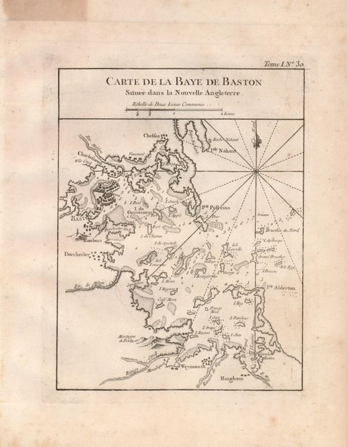
"Carte de la Baye de Baston Situee dans la Nouvelle Angleterre", Bellin, Jacques Nicolas
Subject: Massachusetts, Boston

Period: 1764 (circa)

Publication: Le Petit Maritime Atlas

Color: Black & White

Size:
6.5 x 8.5 inches
16.5 x 21.6 cm
Download High Resolution Image
(or just click on image to launch the Zoom viewer)

This copper engraved chart provides good detail of the complex nature of the islands, waterways and navigation hazards leading to Boston, Charlestown, Chelsea, Weymouth, etc. Boston shows in block form the city and its fortifications. The chart is embellished with rhumblines and fleur-de lys.

References: Phillips (A) #3508-30

Condition: B+

One a full sheet with wide margins. Toned in upper margin along edge from previous framing tape plus a little scattered foxing in margins. A bid of the light foxing extends into map at lower right corner.

Estimate: $150 - $200

Sold for: $210

Closed on 12/5/2007

Archived