Catalog Archive
Auction 122, Lot 205

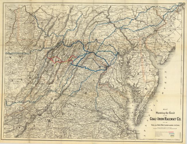
"Map Showing the Road of the Coal & Iron Railway Co. and the Coal and Iron Ore Lands Along its Line", Colton, G.W. & C.B.

Subject: United States - Mid Atlantic

Period: 1882 (dated)

Publication:

Color: Hand Color

Size:
30 x 24 inches
76.2 x 61 cm
Download High Resolution Image
(or just click on image to launch the Zoom viewer)

A highly detailed map that focuses on Virginia, but includes Maryland, Delaware, southern Pennsylvania and eastern West Virginia. The route of the Coal & Iron Railway Co., as well as the coal fields and iron ore lands are shown in delicate hand color. The map is filled with hundreds of placenames, has very good topographical information and locates additional railroads. A key at lower right identifies completed and proposed connections, the projected line of the railway, the Cumberland Coal Field and the Iron Ore Lands. A crisply engraved example printed on banknote paper.

References:

Condition: B+

Folding, as issued. Several archival tape repairs on verso to the intersectional folds. Minor soiling confined to margins.

Estimate: $250 - $350

Sold for: $275

Closed on 12/5/2007

Archived