Catalog Archive
Auction 122, Lot 185

"United States", Mitchell/Cowperthwait

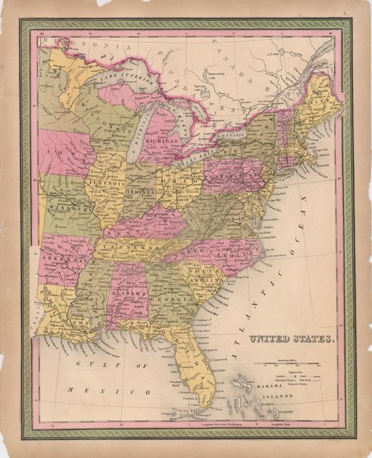
Subject: Eastern United States

Period: 1854 (circa)

Publication: Universal Atlas

Color: Hand Color

Size:
12.5 x 15.8 inches
31.8 x 40.1 cm
Download High Resolution Image
(or just click on image to launch the Zoom viewer)

Map of the eastern states that shows some early territorial divisions in what would become Minnesota. Virginia is one state; West Virginia did not separate until 1863. The map shows roads and rail routes, cities and towns. It is surrounded in an attractive frame-like border.

References:

Condition: B+

Original color on a sheet with some chipping and a couple tears into the border, repaired on the verso with archival tape.

Estimate: $110 - $140

Unsold

Closed on 12/5/2007

Archived