Catalog Archive
Auction 122, Lot 183

"Map of the United States", U.S. Government

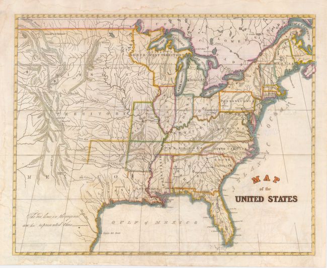
Subject: Eastern United States

Period: 1838 (circa)

Publication:

Color: Hand Color

Size:
14.8 x 12 inches
37.6 x 30.5 cm
Download High Resolution Image
(or just click on image to launch the Zoom viewer)

An unusual little map that shows a large Missouri and Northwest Territories, and with with Kentucky as part of Virginia. The names of Louisiana and Texas are shown on the Gulf Coast, with a hint of a border beginning to be shown for Louisiana. A number of native tribes are located. A note at the left refers to dotted lines that replace red lines used in the original map.

References:

Condition: B

Issued folding, now flattened. This map has some offsetting and a few stains in the map. The margins have a faint damp stain. Lithographed on very fine paper with later color.

Estimate: $110 - $150

Sold for: $80

Closed on 12/5/2007

Archived