Catalog Archive
Auction 122, Lot 141

"Charte der Insel Newfoundland und eines Theils der Kuste von Labrador", Geographisches Institut

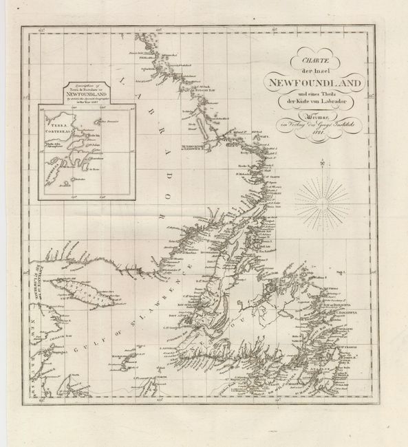
Subject: Canada, Newfoundland

Period: 1821 (dated)

Publication:

Color: Black & White

Size:
11.8 x 12.5 inches
30 x 31.8 cm
Download High Resolution Image
(or just click on image to launch the Zoom viewer)

This uncommon map of Newfoundland, the coast of Labrador, and the mouth of the St. Lawrence is filled with intricate coastal detail. Inset at the top is a small map; Description of Terra de Baccalos or Newfoundland by Ortelio the Spanish Geographer in the Year 1587 that provides an interesting comparison of the growth of cartographic knowledge between 1587 and 1821.

References:

Condition: A

Issued folding, now flattened with a few minor creases. A nice example.

Estimate: $150 - $200

Unsold

Closed on 12/5/2007

Archived