Subject: North America
Period: 1770-1865 (circa)
Publication:
Color:
An interesting group of late 18th and 19th century maps that provide a nice view of the progress of mapping the continent with many interesting transitional configurations of states and territories. Two maps include the Republic of Texas.
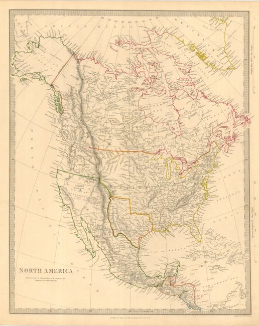
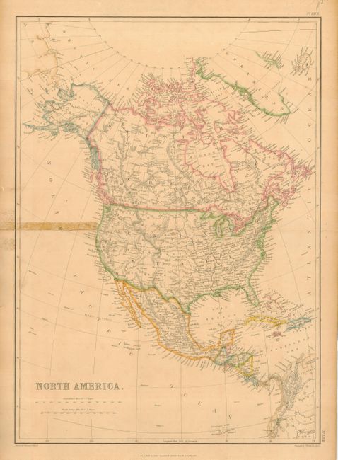
1) North America by SDUK, London, 1843, outline color (12 x 14.5"). Shows an Independent Texas and an undefined border between Canada and the United States in the Pacific Northwest. Creased along right border. Grade B+.
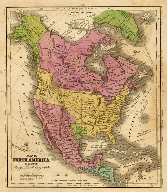
2) Map of North America To Illustrate Olney's School Geography dated 1829 but published circa 1840, hand color (8 x 9.3"). Shows an Independent Texas and the U.S. claims into present-day British Columbia. Damp stain, mostly in margins, but entering map at right. Grade B.
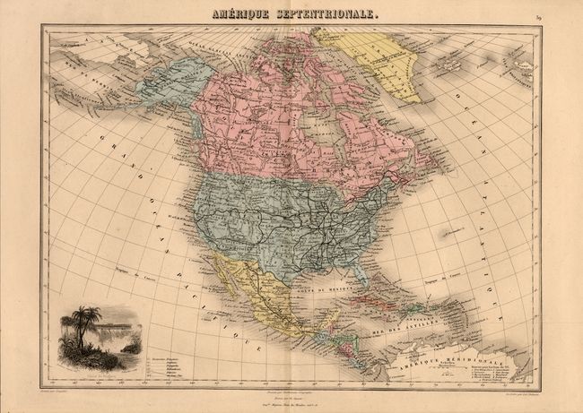
3) Amerique Septentrionale by Desbuissons, Paris, circa 1865. Features a vignette of Niagara Falls. Hand color. (15 x 10.8") Grade A+.
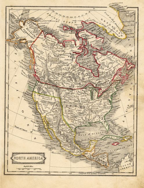
4) North America, anonymous, London circa 1845. Alaska is still "Russian Territory." Orignal outline color. (7.2 x 9"). Some soiling and a small hole in upper right margin. Grade B+.
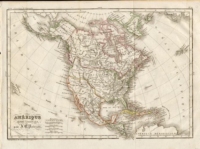
5) Amerique Septentrionale, par J. B. Poirson, circa 1830. Oregon is named Colombia and includes much of British Columbia. Original outline color. (12.3 x 8.5"). Folding, as issued. Grade A.
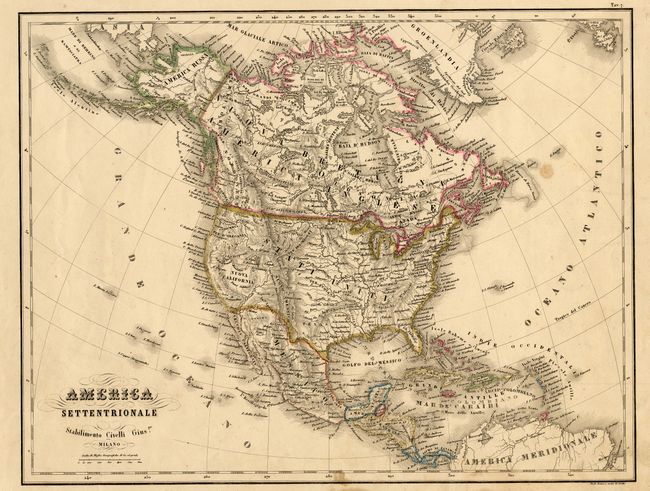
6) America Settentrionale Stabilimento Civelli Guis, Milan, circa 1850. Beautiful Italian map showing many placenames and Indian tribes. Original outline color. (15 x 11.5"). Hinge remnants on verso. A couple spots within image. Grade B+.
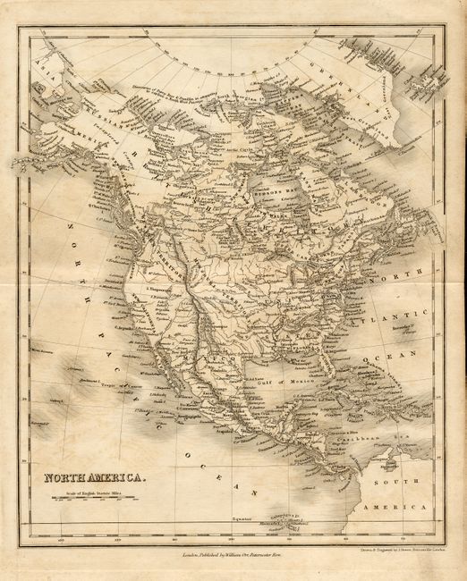
7) North America by William Orr, London, circa 1830. Finely engraved with excellent detail. The western coast includes the names New Norfolk, New Cornwall, New Hanover, and New Albion. The Stony Mountains separate a large Missouri Territory from the Western Territory. Uncolored. ( 8.3 x 10"). Offsetting and light uneven toning. Grade B.
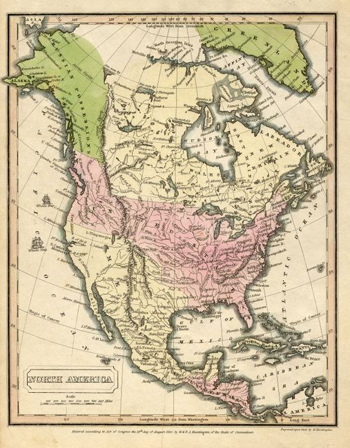
8) North America by F.J. Huntington, 1830. The map shows the U.S. claims into present-day British Columbia. Whaling ships are shown in the Pacific. Orignal hand color. (7.8 x 9.5"). Grade A.
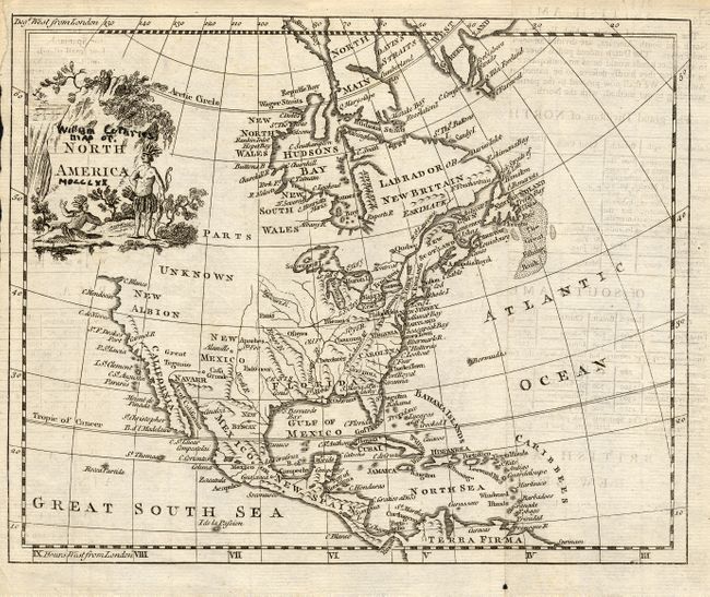
9) North America, by William Guthrie, London, circa 1770. The western region is labeled "Parts Unknown." Decorative title cartouche includes two Native Americans. Uncolored (9 x 7"). Previous owner's ink notation in title. Toning and a small wormhole In lower margin. Grade C+.
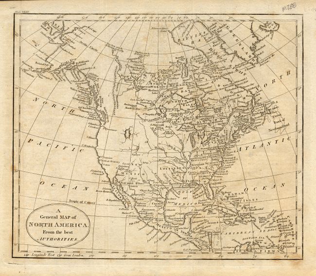
10) A General Map of North America. From the best Authorities, anonymous, circa 1800. There is a large, unnamed lake in the West. Uncolored (8.8 x 7.5"). Some uneven toning. Grade B+.
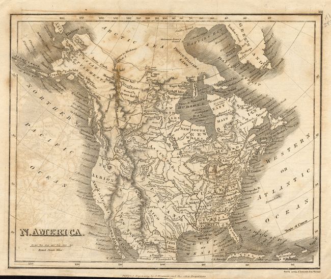
11) North America by Sidney Hall, London, circa 1824. The Rocky Mountains cut a wide swath the entire length of the continent. Uncolored ( 6 x 7"). Light offsetting. Grade B+.
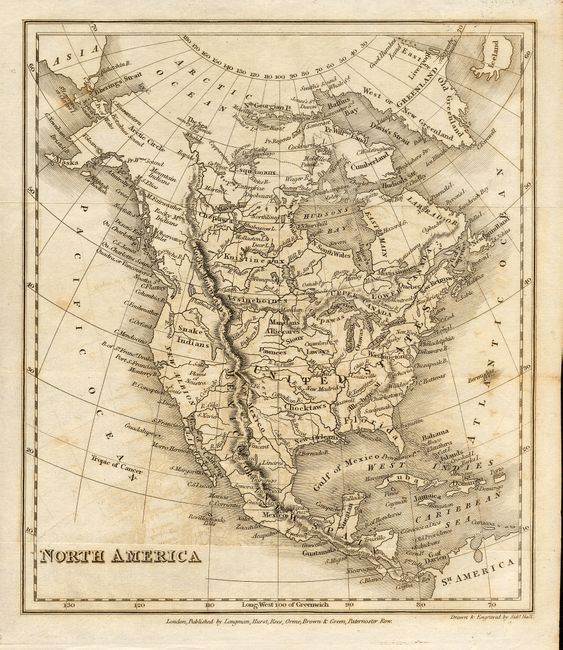
12) N. America by Smith, London, 1819. The Pacific Northwest is labeled New Albion. Uncolored (9.5 x 7.8"). Offsetting and some foxing. Grade B.
13) North America by Blackie & Son, circa 1858. In the lower part of New Mexico Territory is the region called "Gadsden or Arizona." Original outline color. ( 13.3 x 18"). Separation on centerfold with old tape stain about 4" long. Grade C.
References:
Condition:
See individual descriptions.