Subject: Geography Books
Period: 1836-73 (published)
Publication:
Color:
This is a terrific collection of school geographies from the 19th century - a period of rapid growth in the American map publishing business. Much of the history of 19th century American cartography was related to improved printing technologies, driven in part by the demands of a nation intent on educating all of its children. School atlases are a particularly unique reflection of civilization because the material in the atlases was carefully selected by educators on the basis of what was important for children to know about the world. The maps, while simple, contain a great deal of information and the thematic maps and comparative charts are of particular interest. This collection contains examples from 1836 through 1873, and includes some of the most preeminent American map publishers of the period.
1) Atlas to Accompany Smiley's Easy Introduction to the Study of Geography, copyright 1836. (9 x 11.25"). Contains 6 single-page and 2 double-page hand- colored maps, many featuring small vignettes to accompany the title cartouches. Missing front cover and half of the frontis map.
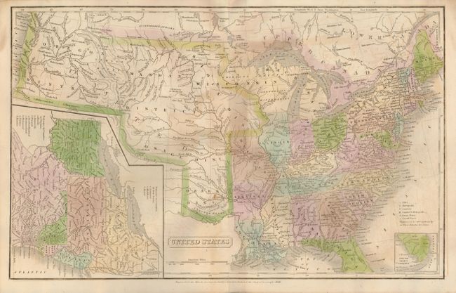
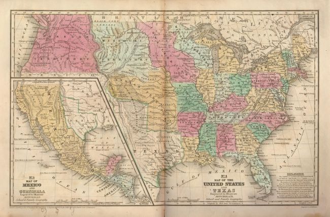
2) Mitchell's School Atlas, Revised Edition. Thomas, Cowperthwaite & Co., Philadelphia, copyright 1839. (12 x 9.75"). Contains 10 single-page and 4 double-page, hand colored maps. In this example, Texas is shown as an independent republic on two separate maps, but it is missing the separate map of Texas.
3) Mitchell's School Atlas. Thomas, Cowperthwaite & Co., Philadelphia, 1840. (12 x 9.75"). Missing several pages including the maps of the United States and Texas, but still has 6 single-page and 3 double-page maps.
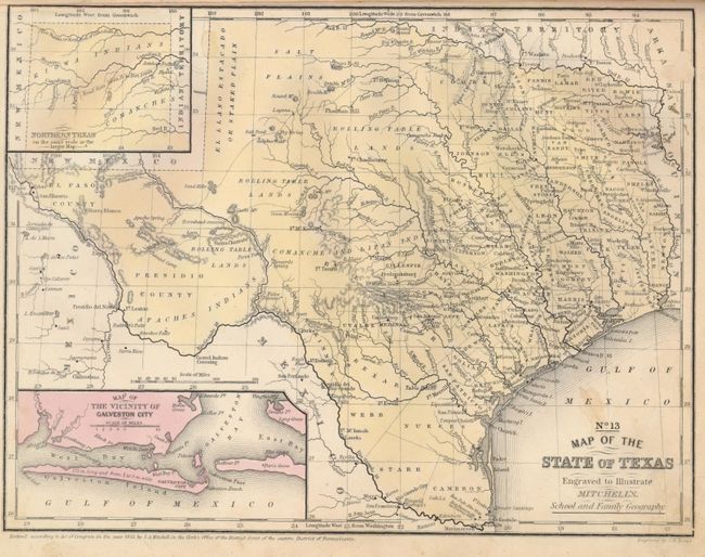
4) Mitchell's School Atlas, Third Revised Edition. Thomas, Cowperthwaite & Co., Philadelphia, copyright 1839, but circa 1846. (12 x 9.75"). Contains 11 single-page and 5 double-page, hand colored maps. The State of Texas map is dated 1846.
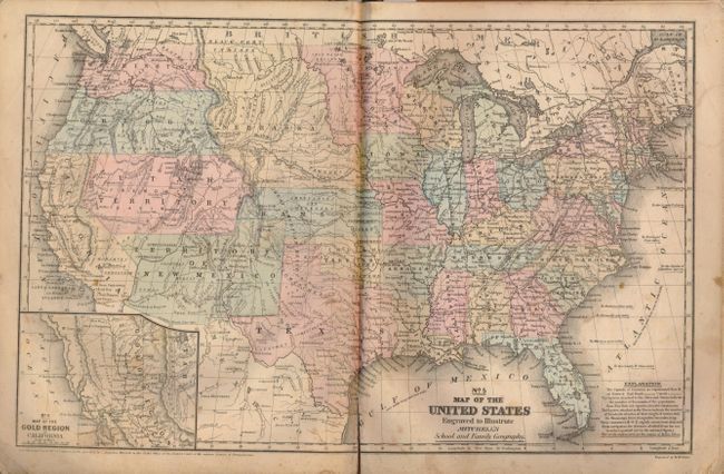
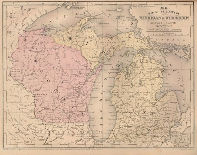
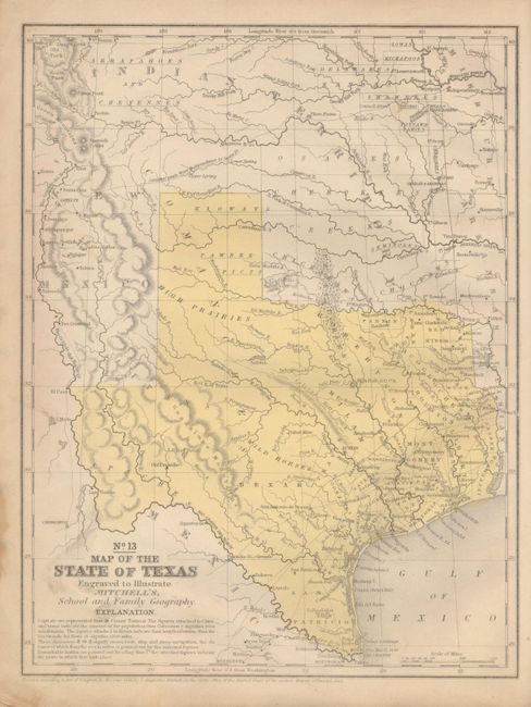
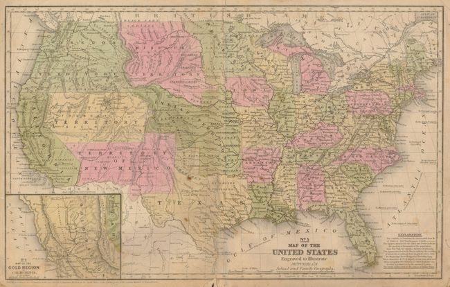
5) Mitchell's School Atlas, Fourth Revised Edition. Thomas, Cowperthwaite & Co., Philadelphia. Dated 1855. (12 x 9.75"). Contains 13 single-page and 5 double-page, hand colored maps.
6) Mitchell's School Atlas, Fourth Revised Edition. Thomas, Cowperthwaite & Co., Philadelphia. Dated 1857. (12 x 9.75"). Contains 13 single-page and 5 double-page, hand colored maps.
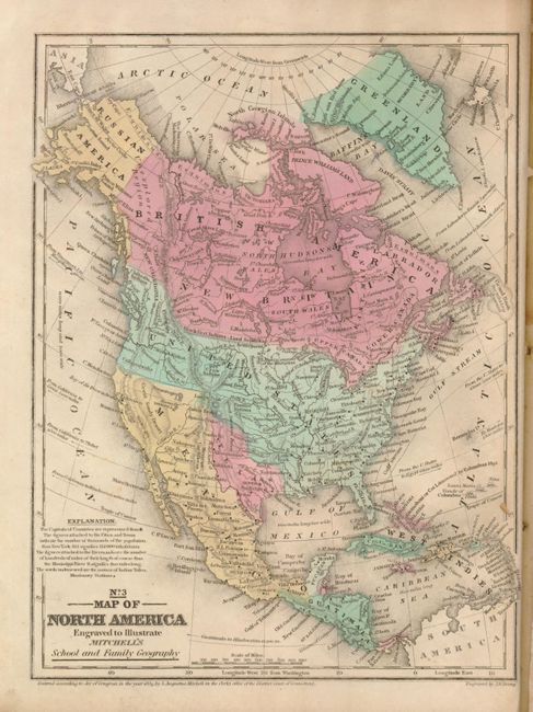
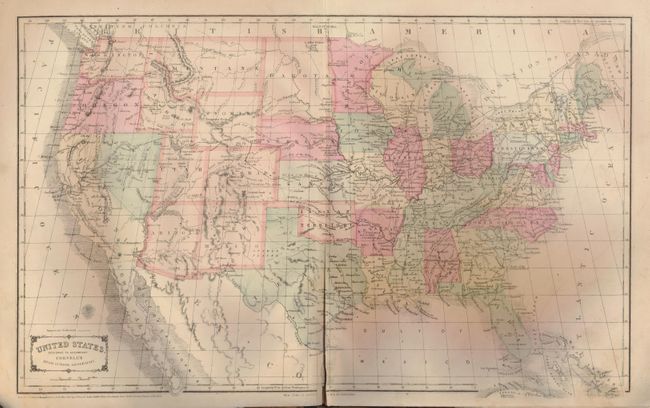
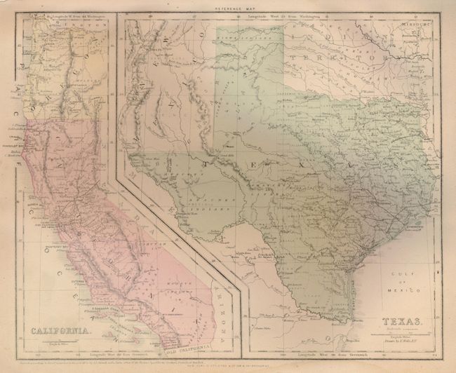
7) Cornell's Companion Atlas to Cornell's High School Geography, D. Appleton & Co., New York, 1872. (14 x 11.5"). Contains 18 single-page and 7 double-page, hand colored maps.
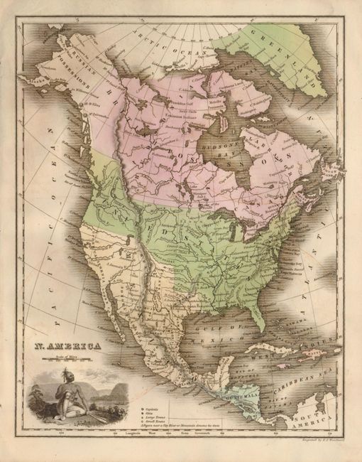
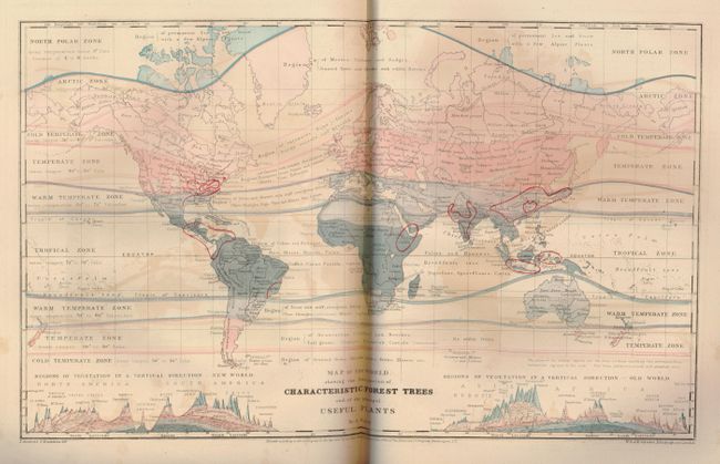
8) Guyot's Physical Geography. Scribner, Armstrong & Co., New York, 1873. (10 x 13"). Contains 4 single-page and 6 double-page thematic maps in early printed color.
References:
Condition: C+
Most maps are soiled and damp stained and several are chipped and dog-eared. A couple maps have ink spots and notations. All the covers are worn, scuffed and soiled. Some pages are missing and others are separated. Sold not subject to return.