Subject: Atlases
Period: 1919 (dated)
Publication:
Color: Printed Color
Size:
10.5 x 16 inches
26.7 x 40.6 cm
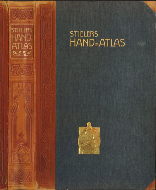
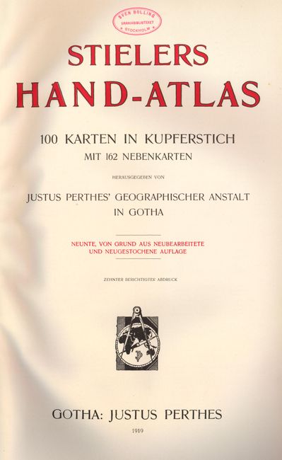
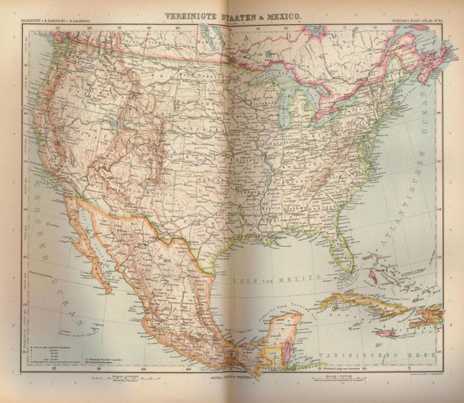
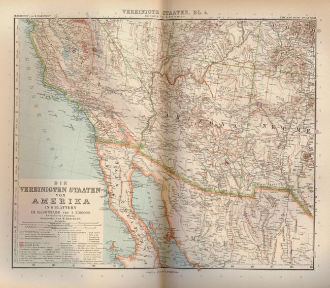
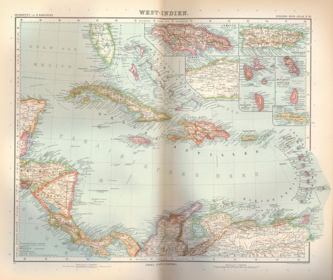
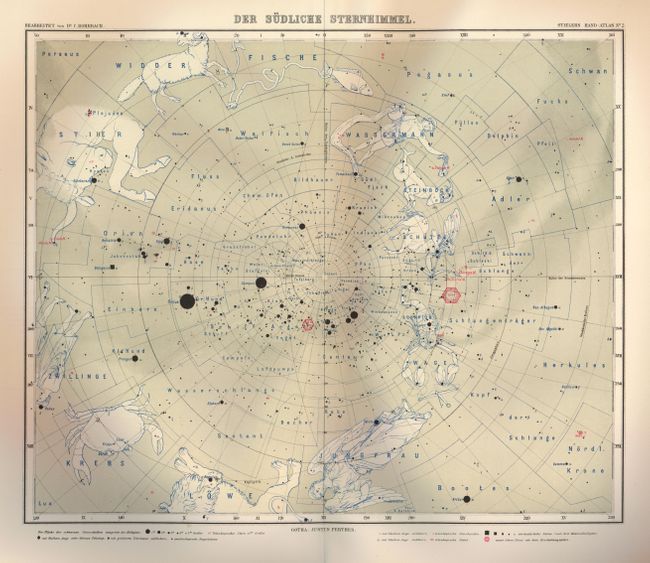
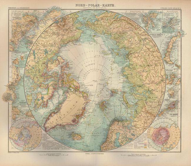
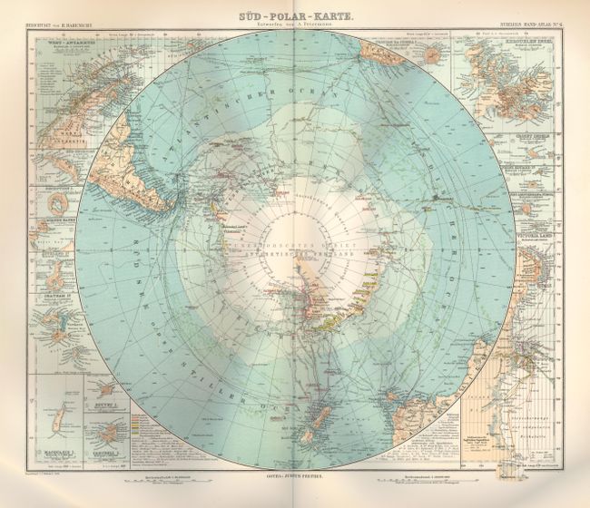
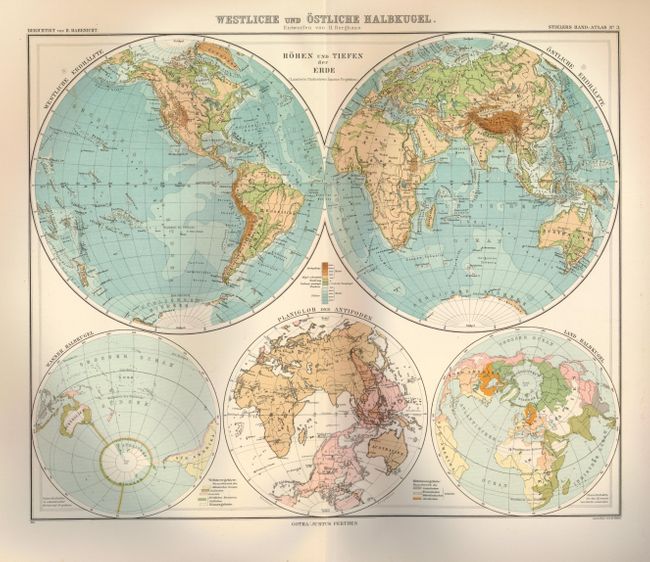
World atlas with 100 double-page maps including a star and constellation chart. The maps are pasted onto backstrap, as with older atlases, so the double-page sheets are continuous. The verso of each map features a small index map that shows the relationship of the map to its region. The maps are presented with typical German craftsmanship with great attention to detail. Many of the maps include insets. Complete with red and black title page, list of maps and a 239 page index. Beautifully bound in grey cloth covered boards with tooled, art deco style half leather spine and tips. Gilt titles on front and spine with a unique, embossed brass plaque containing a compass, Eastern Hemisphere map and an atlas with Justus Perthes' monogram on the front cover. Published by Justus Perthes.
References:
Condition: A
Maps and text are lightly toned, otherwise fine. Covers show light shelf wear. Leather spine and corners are slightly scuffed and bumped. Two unobtrusive personal library stamps on the front endpaper and title page.


