Subject: Atlases
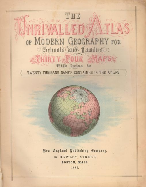
Period: 1881 (dated)
Publication:
Color: Printed Color
Size:
11.5 x 14.5 inches
29.2 x 36.8 cm
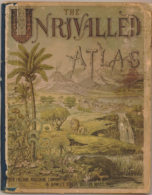
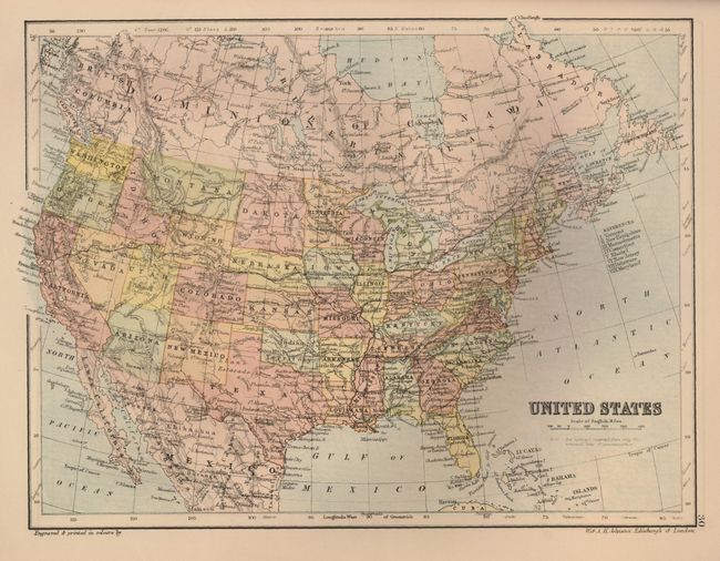
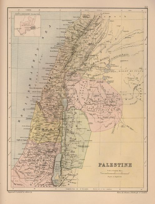
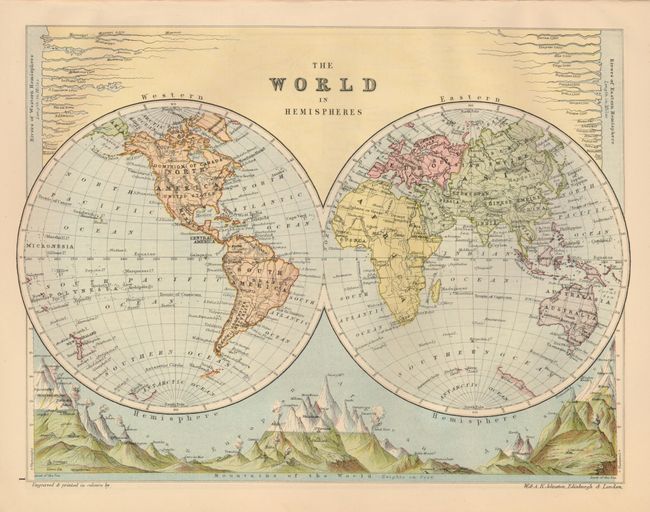
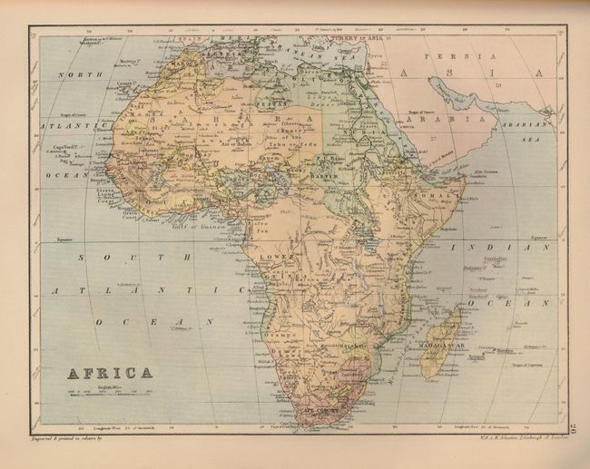
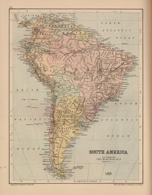
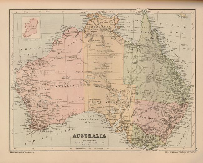
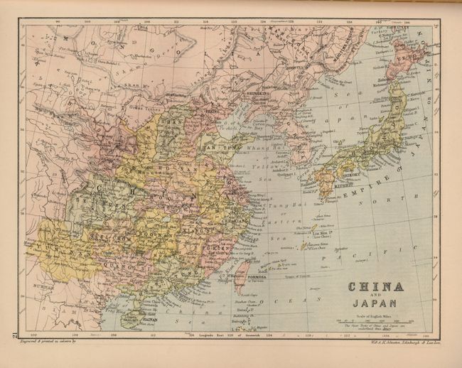
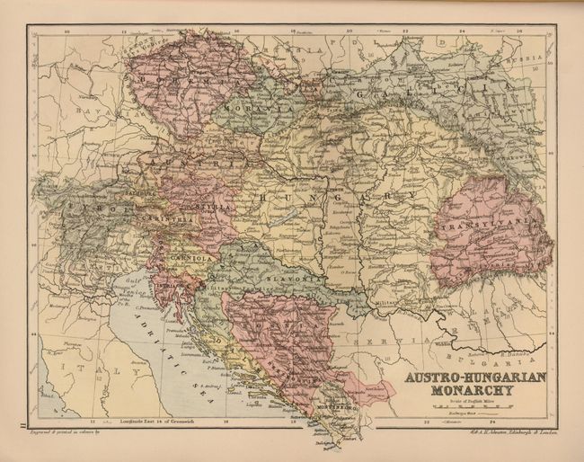
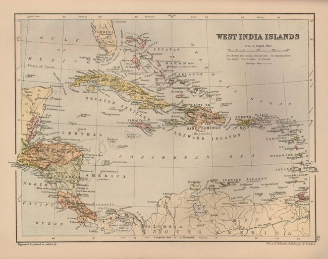
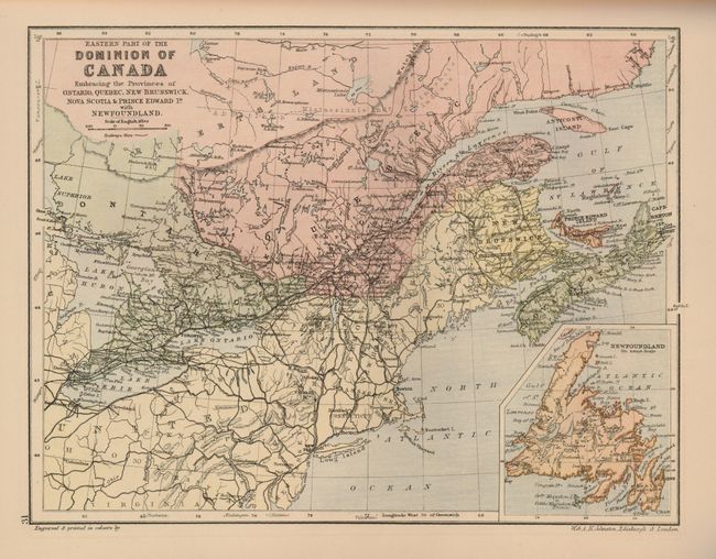
This handsome atlas has 34 very detailed maps engraved by W. and A.K. Johnston, published by the New England Publishing Co. in Boston. The maps are accompanied by a 33-page index that contains twenty thousand names. These attractive maps show topography, rivers, roads and railways, and some include insets. The Chart of the World shows shipping lanes and the submarine telegraph cables that connected the continents at the time. Small quarto. Complete. Hardbound in original decorative paper covered boards and a blue cloth spine.
References:
Condition: B+
Maps very good. Endpapers creased. Binding is good with hinges starting to separate. Covers are a bit soiled and scuffed. With some loss on spine and corners.