Subject: Atlases
Period: 1860 (dated)
Publication:
Color: Hand Color
Size:
15 x 19 inches
38.1 x 48.3 cm
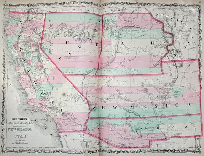
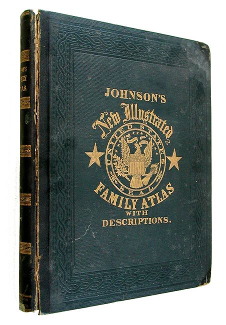
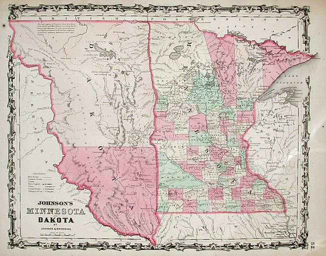
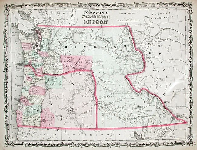
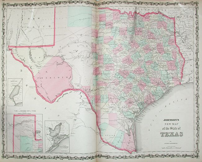
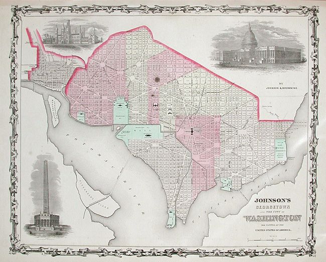
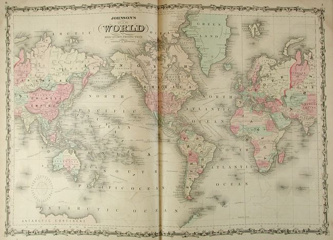
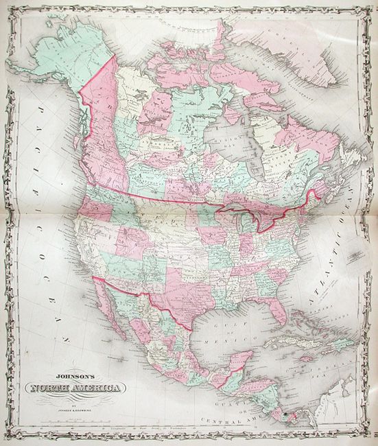
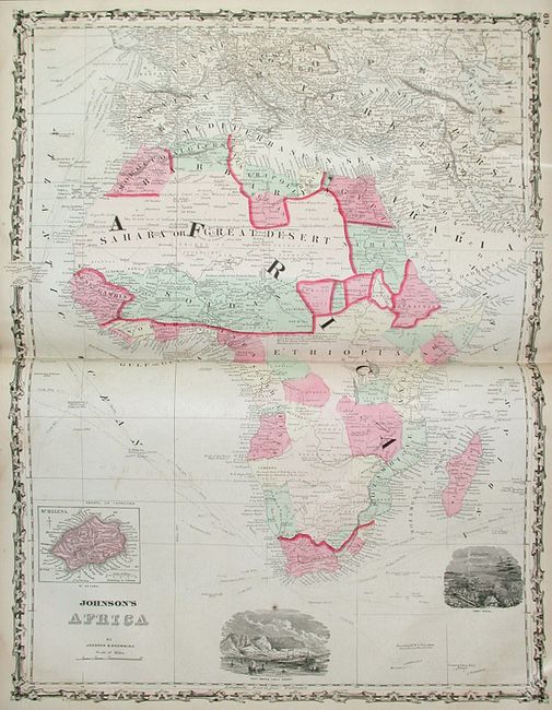
This complete atlas contains 23 double-page and 41 single-page, beautifully hand-colored and very detailed maps that were "Compiled, drawn, and engraved by J.H. Colton and A.J. Johnson." There are a number of important and desirable maps in this atlas and this example includes an additional, un-numbered plan of Georgetown in the City of Washington. The highly regarded California Territories of New Mexico and Utah shows the newly formed Nevada Territory taking over the western portion of Utah. The proposed Territory of Arizona appears in the southern third of New Mexico Territory. This map also shows forts, ruins, the emigrant route to California and the routes of numerous well known surveyors, engineers and military commanders such as Fremont, Gunnison and Emory. The map of Washington and Oregon shows Washington Territory wrapped around Oregon taking in what would become Idaho. The map of Nebraska and Kansas Territories takes up all the plains region from the Canadian border to the Arkansas River. The map of Minnesota and Dakota shows an early configuration for Dakota Territory. Complete. Large Folio. Original hardbound in green cloth with quarter morocco spine and tips. Decorative titles in gilt on front and spine.
References:
Condition: B+
Contents and maps good with some very light occasional foxing. Several pages are loose at front and have some chipping and tears in the margins. The important maps are sound. Covers are moderately worn with some scuffing and bumping on the corners. Front cover separated. Spine has a small bit of loss at lower extremity, but is otherwise sound. Binding is tight.