Subject: Atlases
Period: 1800 (dated)
Publication:
Color: Hand Color
Size:
6.3 x 8.8 inches
16 x 22.4 cm
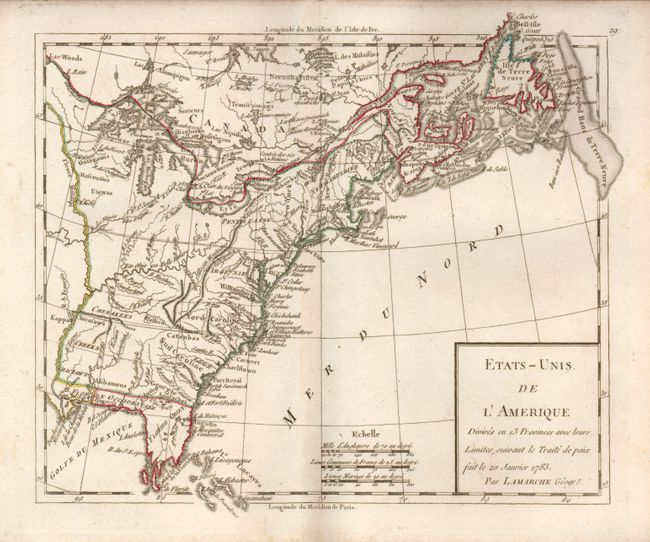
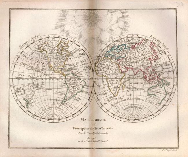
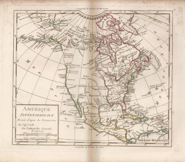
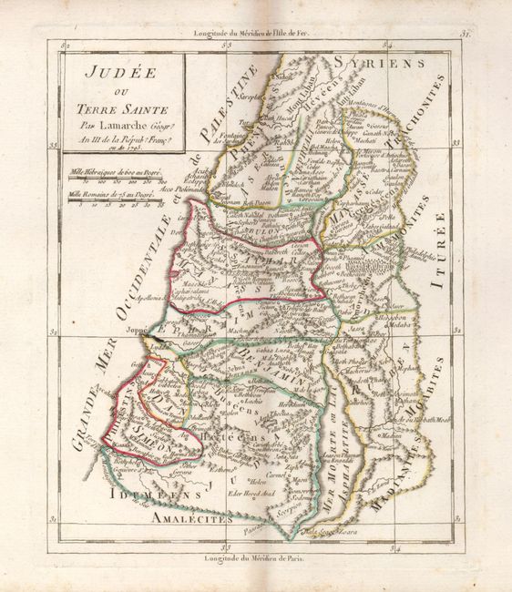
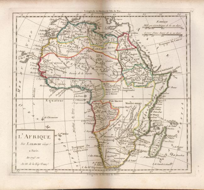
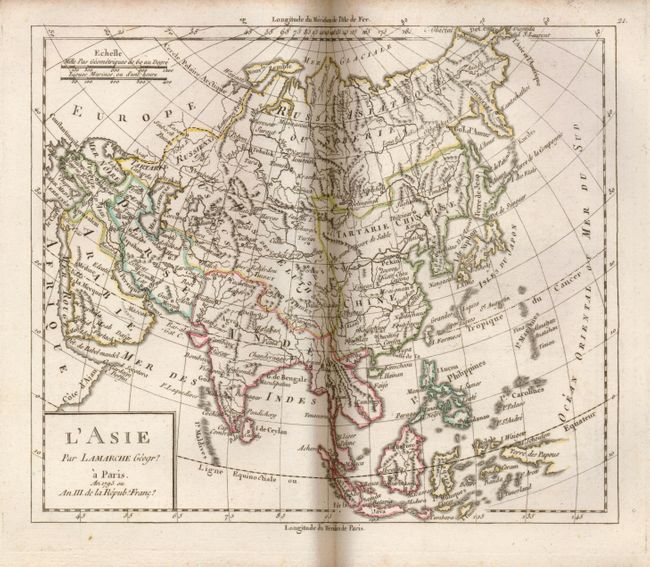
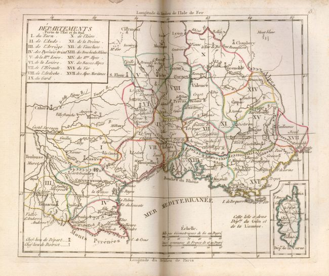
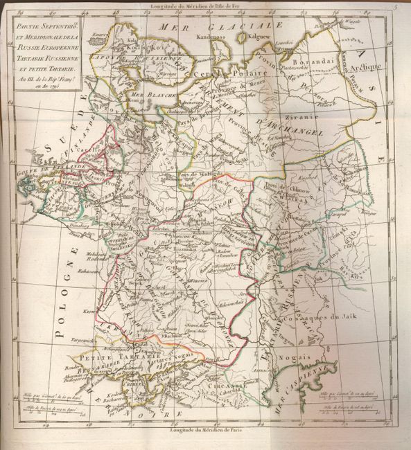
This difficult to find French atlas contains 30 double-page maps and one foldout map. These are all beautifully engraved and have attractive outline color. The map of Amerique Septentrionale shows the United States confined east of the Mississippi River, and a misshapen Florida is still in Spain's possession. There is also a nice map of the young United States. The maps show very good detail, with towns, villages, rivers, tribal names and some roads shown. The book has a title page, preliminary pages iii- viii, and 122 pages of text preceding the maps. 8 vo. Complete. Hardbound in brown marbled boards with leather spine. Gilt title on spine.
References:
Condition: A
Contents near fine with just a bit of toning on some text pages. Covers a bit shelf worn with some minor rubbing and scuffing mainly along edges. Original binding with spine repaired. Front endpaper starting to separate.