Catalog Archive
Auction 121, Lot 802
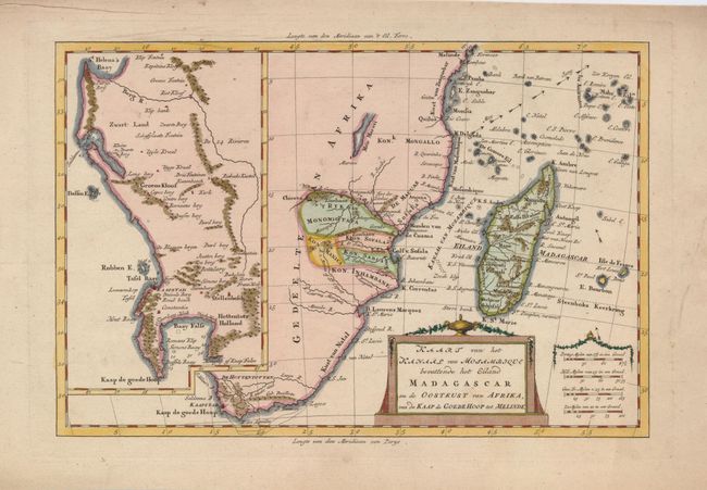
"Kaart van het Kanaal van Mosambique bevattende het Eiland Madagascar en de Ooetkust van Africa, van de Kaap de Goede Hoop tot Melinde", Bachiene, Willem Albert

Subject: Africa - Southern
Period: 1785 (circa)
Publication: Atlas tot Opheldering der Hedendaagsche Historie…
Color: Hand Color
Size:
12.5 x 8.3 inches
31.8 x 21.1 cm
Download High Resolution Image
(or just click on image to launch the Zoom viewer)
(or just click on image to launch the Zoom viewer)

