Catalog Archive
Auction 121, Lot 793
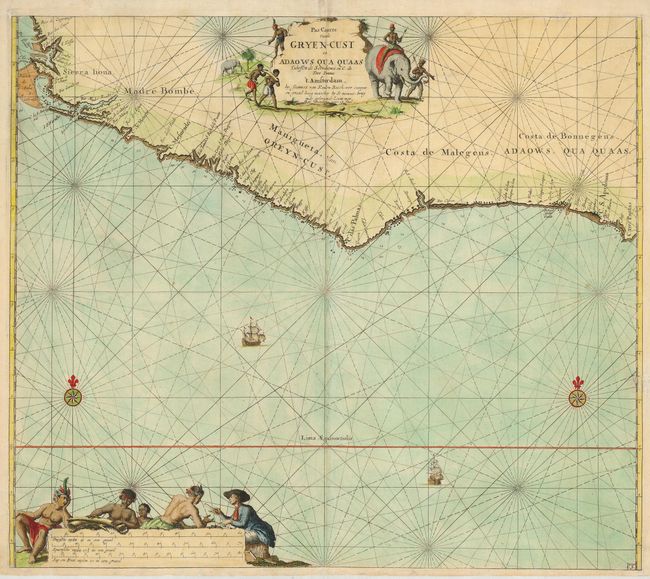
"Pas Caarte vande Gryen-Cust en Adaows Qua Quaas…", Keulen, Johannes van

Subject: Africa - Western
Period: 1715 (circa)
Publication:
Color: Hand Color
Size:
22.8 x 20 inches
57.9 x 50.8 cm
Download High Resolution Image
(or just click on image to launch the Zoom viewer)
(or just click on image to launch the Zoom viewer)

