Subject: Africa
Period: 1856-73 (circa)
Publication:
Color: Hand Color
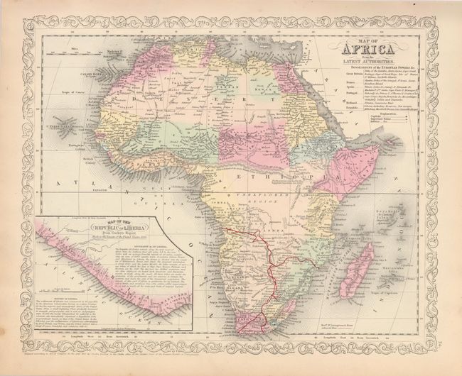
1) Map of Africa from the Latest Authorities is one of the more attractive 19th century maps of the continent with a legend identifying colonial possessions. At bottom left is a large inset of the Republic of Liberia, reflecting the American influence there and the efforts of the American Colonization Society to repatriate freed Negroes to Africa. Liberia was founded in 1847 with it's government modeled on the United States. Charles Desilver, Philadelphia, 1856. (15 x2").
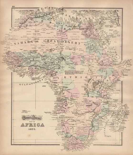
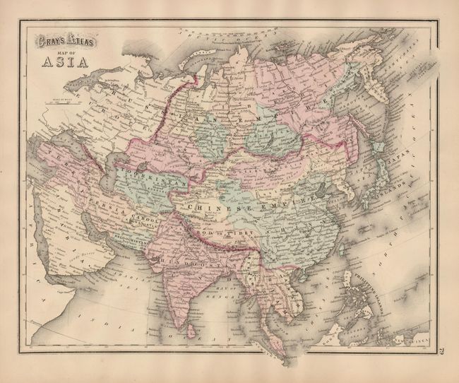
2) Gray's Atlas Map of Africa is a nice map of the continent showing the interior beginning to fill in and thus eliminating the unexplored regions. Regions are distinguished by color and there are numerous named deserts, rivers, lakes, and tribes. Provides an interesting study of the continent just as the interior is being discovered. There is a map of Asia on verso. Philadelphia, O.W. Gray, 1873 (14.5 x 16").
References:
Condition: B+
Both maps with light toning along edges, and a spot in lower left. Gray's map has a bit of faint offsetting.