Catalog Archive
Auction 121, Lot 600
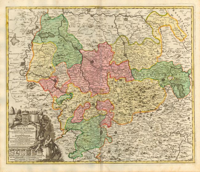
"Ducatus Brunsuicensis in ejusdem Tres Principatus Calenbergicu…", Homann, Johann Baptist

Subject: Germany
Period: 1716 (published)
Publication: Grosser Atlas
Color: Hand Color
Size:
22.8 x 19 inches
57.9 x 48.3 cm
Download High Resolution Image
(or just click on image to launch the Zoom viewer)
(or just click on image to launch the Zoom viewer)

