Catalog Archive
Auction 121, Lot 598

"Electoratus Brandenburgi Mekelenburgi et Maximae Partis Pomeraniae Novissima Tabula", Visscher, Nicolas
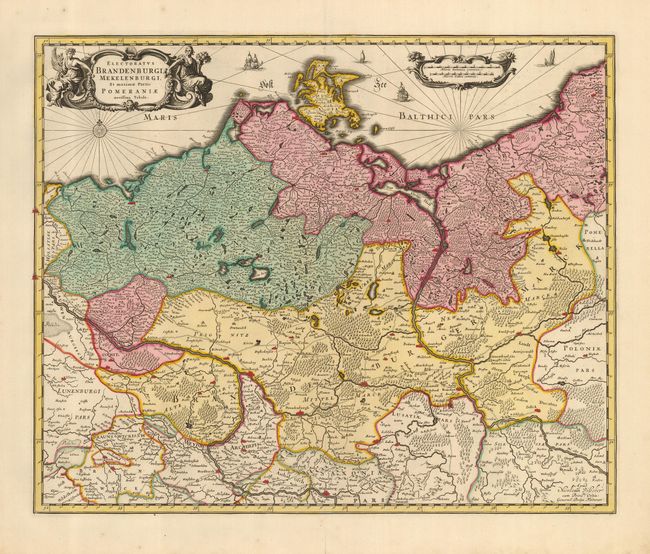
Subject: Germany

Period: 1705 (circa)

Publication: Atlas Minor sive Geographia Compendiosa

Color: Hand Color

Size:
21.3 x 17.3 inches
54.1 x 43.9 cm
Download High Resolution Image
(or just click on image to launch the Zoom viewer)

A nicely colored, detailed map of northern Germany showing the area from the coastline of the Baltic Sea, south to Wittenberg, and from Lubeck in the west, to Kalis in the east. Many place names, roads, lakes and cities such as Berlin and Brandenburg are located. This handsome map is embellished with an elegant, uncolored title cartouche, compass rose and rhumblines, decorative distance scale cartouche, and sailing ships in the Baltic.

References:

Condition: A

A centerfold split in lower margin just reaches neatline, else a fine copy with full margins, crisp impression and fine original coloring.

Estimate: $200 - $300

Sold for: $150

Closed on 9/26/2007

Archived