Catalog Archive
Auction 121, Lot 501

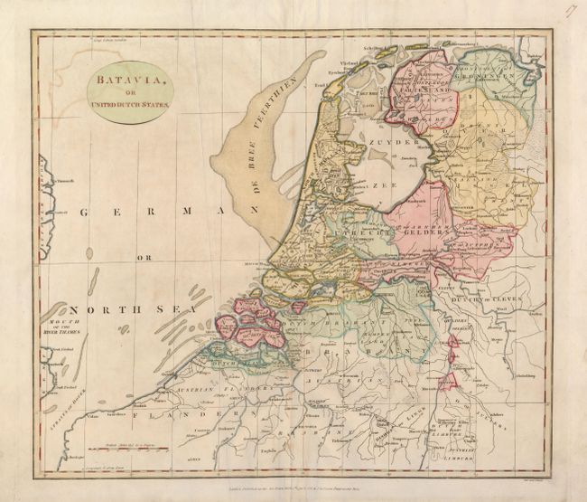
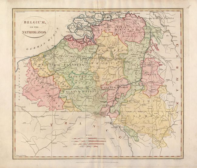
"[Lot of 2] Batavia, or United Dutch States [and] Belgium, or the Netherlands", Robinson, G. G.

Subject: Low Countries

Period: 1799 (dated)

Publication:

Color: Hand Color

Size:
15 x 13 inches
38.1 x 33 cm
Download High Resolution Image
(or just click on image to launch the Zoom viewer)

A very interesting pair of maps made during the period of the Batavian Republic (1795-1806) in the Netherlands, which had been set up by French revolutionary forces after their conquest of Amsterdam. In 1806, Napoleon changed the republic into a kingdom with his brother Louis as its head.

1) Batavia, or United Dutch States details the whole area from Groningen south to the Straits of Dover.
2) Belgium, or the Netherlands is focused roughly on Brussels and gives simple detail of the towns and topography.

References:

Condition: B+

Crisp impressions, with some light offsetting, and a faint bit of pencil in the map of Belgium.

Estimate: $200 - $250

Sold for: $150

Closed on 9/26/2007

Archived