Catalog Archive
Auction 121, Lot 485
"A Correct Map and Chart of the Catagatte and the Baltic Sea, from the Scawe up to Petersburgh…", Lodge, John
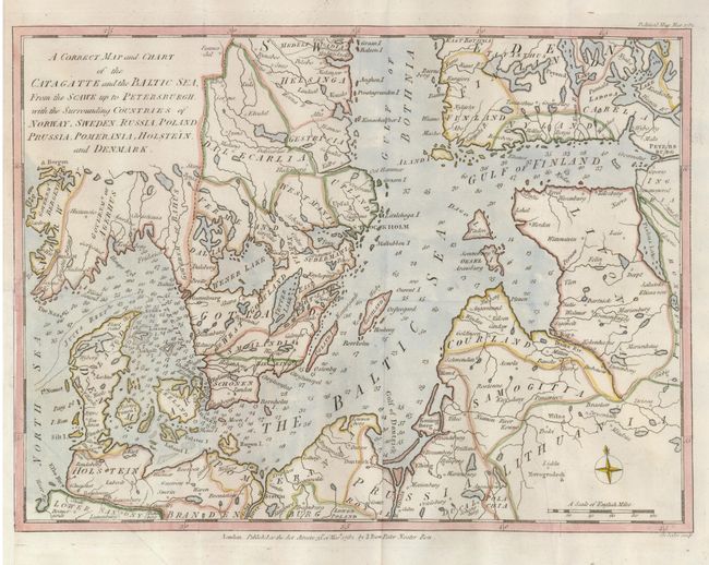
Subject: Baltic
Period: 1782 (dated)
Publication: Political Magazine
Color: Hand Color
Size:
14.5 x 10.8 inches
36.8 x 27.4 cm
Download High Resolution Image
(or just click on image to launch the Zoom viewer)
(or just click on image to launch the Zoom viewer)