Catalog Archive
Auction 121, Lot 425
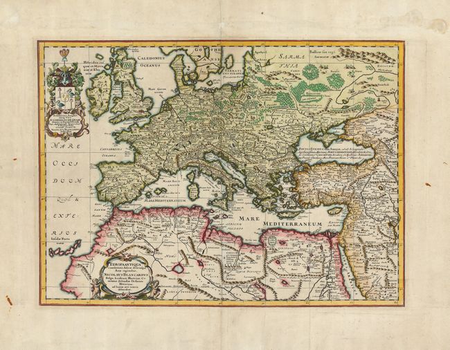
"Europa Antiqua cum finitimis Africae & utriusque Asiae regionibus Nicolaus Blancardus Belga, Leidensis, Illustrium Comitatus Zelandiae Ordinum Historicus, ad lucem aevi veteris delineabat.", Jansson, Jan

Subject: Europe
Period: 1650 (circa)
Publication: Atlas Novus
Color: Hand Color
Size:
20 x 14.5 inches
50.8 x 36.8 cm
Download High Resolution Image
(or just click on image to launch the Zoom viewer)
(or just click on image to launch the Zoom viewer)

