Subject: Iceland
Period: 1572 (circa)
Publication: L'Isole Piu Famoso del Mondo
Color: Black & White
Size:
5.5 x 4 inches
14 x 10.2 cm
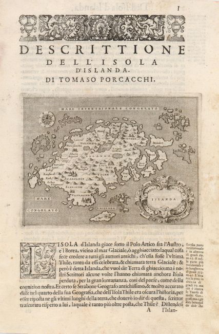
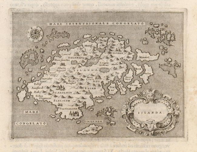
This wonderful little map of Iceland shows the island prior to when any actual surveys were completed. It reflects very sketchy knowledge of the island, which is shown surrounded by many smaller islands. The minutely engraved map features delightful depictions of topography and elaborate cities. Mount Hecla is shown as a flaming mountain and named Mons Helafiel. Several icebergs are shown floating off the coast. The map is oriented by a simple compass and adorned with a deftly engraved cartouche. On a decorative sheet of Italian text, (7 x 1.5").
References:
Condition: A
The text has a little faint foxing, but the map is unaffected.


