Catalog Archive
Auction 121, Lot 405

"Insulae Iohannis Mayen cum Universo Situ Sinum et Promontoriorum Nova Descriptio", Jansson, Jan

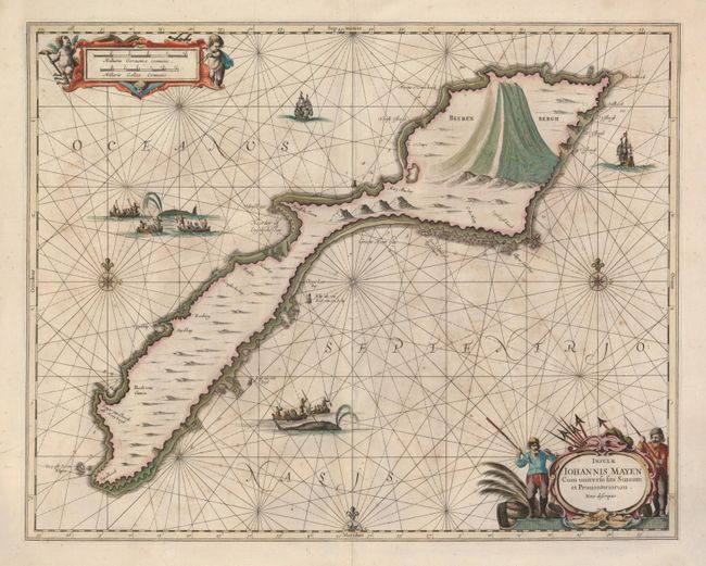
Subject: North Atlantic Ocean

Period: 1657 (circa)

Publication:

Color: Hand Color

Size:
20 x 15.8 inches
50.8 x 40.1 cm
Download High Resolution Image
(or just click on image to launch the Zoom viewer)

This is a handsomely engraved chart of the remote Jan Mayen Island, which belongs to Norway. The island was discovered in 1614, and it was named after the sea captain who discovered it. The map shows a very dramatic view of Beerenberg, the world's northernmost volcano, and it is filled with sailing ships and whaling scenes. The title cartouche is flanked by a pair of venerable whale fishermen, while the scale cartouche at the top is surrounded by putti.

References:

Condition: B

A nice impression and lovely original color. The sheet is lightly foxed and a repaired crack is located on Beerenburg. There is one small hole to the right of the western compass rose.

Estimate: $550 - $650

Sold for: $400

Closed on 9/26/2007

Archived