Subject: Greater Antilles
Period: 1730-1823 (circa)
Publication:
Color:
An attractive group of maps detailing the Greater Antilles from the 18th to the 19th centuries.
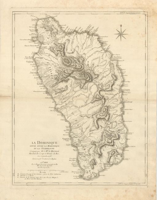
1) La Dominique Situee Entre la Martinique et la Guadeloupe. A finely engraved sea chart highlighting the varied topography of Hispaniola. During the 18th century, the English and French fought for ownership of this island and the map focuses on this rivalry, locating three major battle sites. Large French style compass rose. Le Rouge, Paris, 1778. (18.5 x 23.5") Hinge remnants, and several marginal tears repaired with paper framer's tape on verso. Centerfold reinforced with tape, some light foxing and soil with some mildew in corners which has damaged upper right corner, with facsimile of neatline. Grade B.
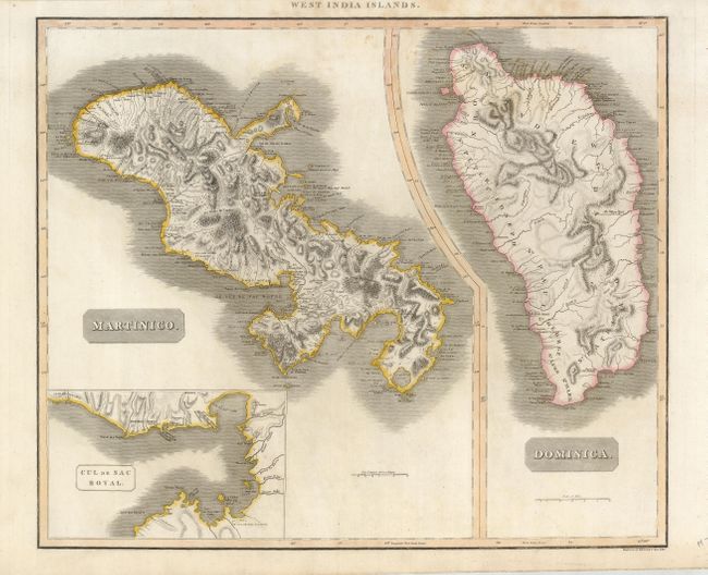
2) West India Islands. Martinico. / Dominica J. Thomson, Kirkwood & Son, Edinburgh, c. 1814. (23.3 x 19.5) Two maps on one sheet, both finely engraved and featuring dramatic topography and numerous place names. The Martinique map includes an inset of the "Cul de Sac Royal". Outline color. Scattered foxing, soiling and several very small wormholes, mostly in margins. Grade B+.
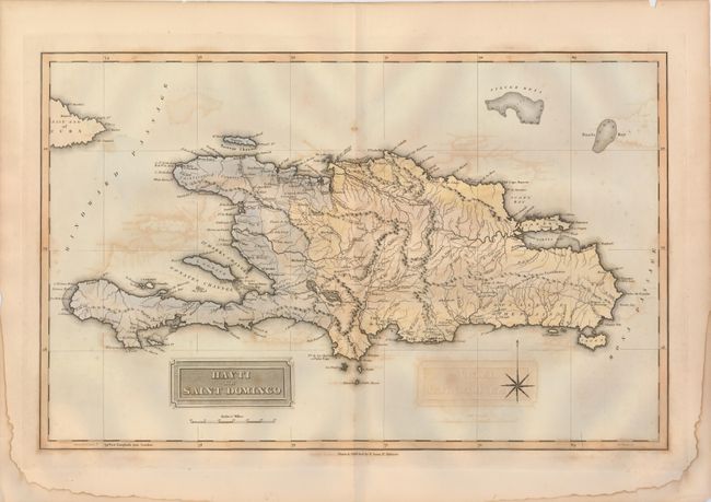
3) Hayti or Saint Domingo is from the first edition of Lucas' General Atlas. Expertly rendered and nicely colored, this example provides good coastal and interior detail with numerous placenames, rivers, roads, soundings and more. Fielding Lucas Jr., Baltimore, c .1823. (19 x 12"). Hand-colored. Map has some offsetting, damp staining and a couple chips in margins. Grade C+.
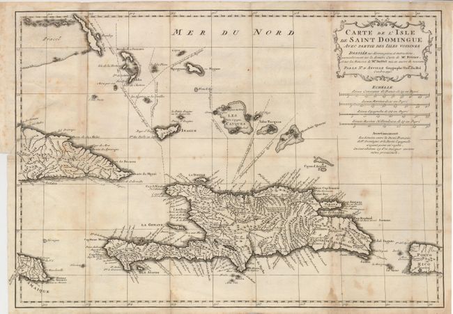
4) Carte de l'Isle de Saint Domingue… is a fine copper plate engraving of the island showing topography, locations of numerous towns and other details. Including the Turks and Caicos Islands, parts of Jamaica, Puerto Rico, Cuba and the Bahamas edge into the map. Samana is shown as an island controlled by the French. Text in the center of Santo Domingo notes that gold, silver, and copper mines are in this region. Rococo-style title cartouche tops four distance scales. D'Anville, Paris, 1730. (16.5 x 11.4") Folding, as issued. Foxed and toned. 2' binding tear repaired on face of the map with archival tape. Grade C+.
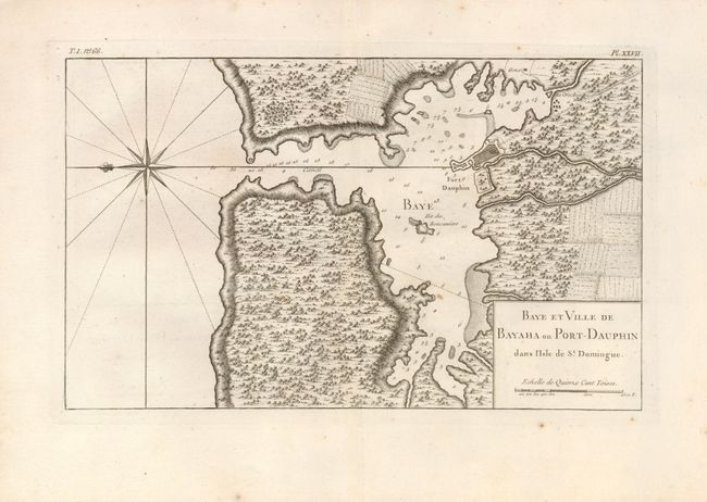
5) Baye et Ville de Bayaha ou Port-Dauphin… shows fortifications on Ilet des Boucaniers. A large compass rose orients north to the left. Excellent topographical detail highlights coastline, rivers, forests and fields. J. N. Bellin, Paris, c.1764. (13.8 x 8.5") Marginal toning and several small, unobtrusive spots within image. Grade B+.
References:
Condition:
see individual descriptions.