Subject: World
Period: 1856-79
Publication:
Color: Hand Color
Collection of three world maps, all with original hand coloring. Lot includes the following:
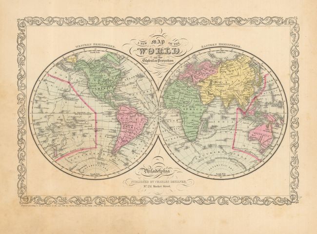
1) A New Map of the World on the Globular Projection, from the Universal Atlas, Philadelphia, Desilver, 1856. (14.5 x 9.5")
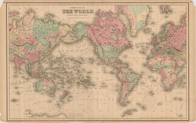
2) Colton's Map of the World on Mercator's Projection is a well colored and fully engraved map that shows Alaska as the "U.S. Territory of Alaska." New York, Colton, c. 1870, (25.3 x 16.5")
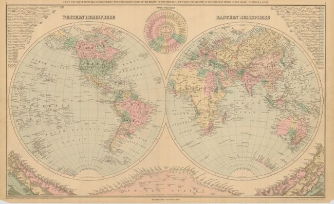
3) Gray's New Map of the World in Hemispheres… is a double hemispheric map that includes comparative views of the heights of the principal mountains and lengths of the principal rivers around the world. Philadelphia, O.W. Gray, 1879. (26.3 x 15.6")
References:
Condition: B+
First with a little light foxing mostly in lower portion. The Colton has a few light foxing spots and upper corner chipped, not affecting map image. The last with a short split along centerfold at bottom.


