Subject: Pennsylvania, Philadelphia
Period: 1896 (dated)
Publication:
Color: Hand Color
Size:
28 x 39.5 inches
71.1 x 100.3 cm
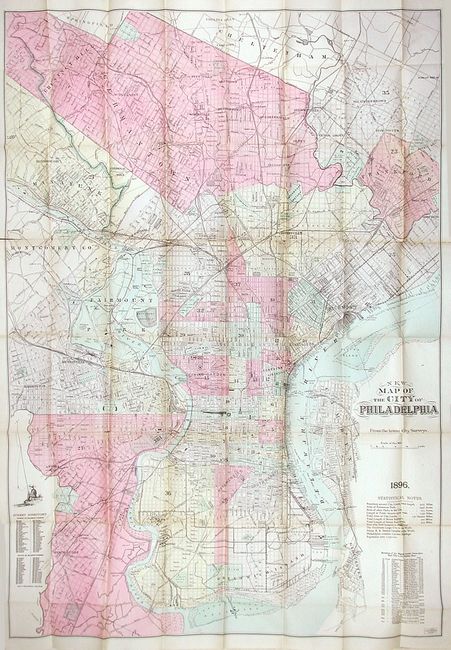
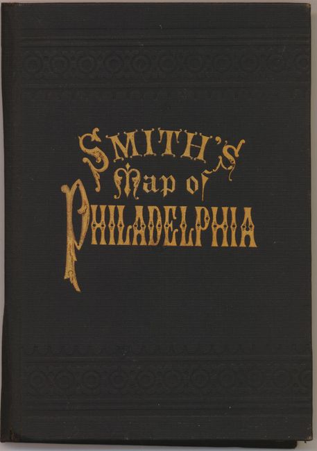
This very large and expertly rendered plan covers the city from the League Island Navy Yard in the south to Camptown in the north, and from the Delaware River in the east to Academyville in the west. Many interesting statistics are listed in the blank areas including a section showing the total length of the city's boundaries, the acreage of parks, the length of railroads, and a statement claiming Philadelphia as the "healthiest large city in the world." The map folds into black, cloth covered boards that have an attractive gilt title and embossing. Boards measure 4.2 x 6.2" with the original J.L. Smith paper label on inside cover.
References:
Condition: B
Map has some fold splits (a few long) and several fold intersection splits. Also a little toning along some folds. The map is quite sound and will benefit significantly from some simple repair. The covers are mint: bright and clean with virtually no sign of wear.


